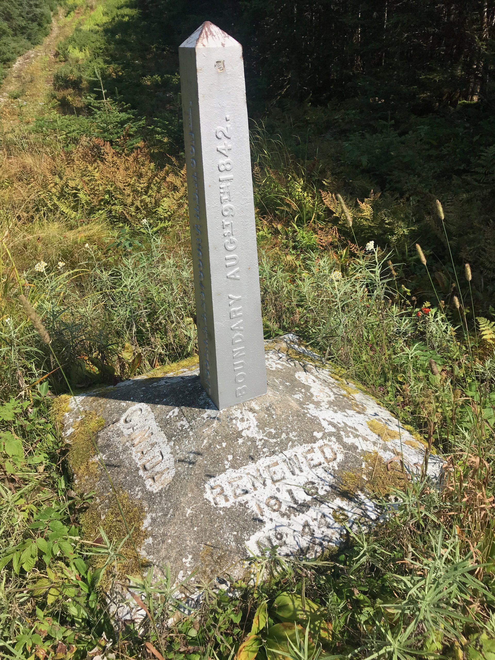
It was still the era of COVID and we’d cancelled our Canadian Rockies trip – so it was somewhat ironic that part of our New England Highest Hundred would take us into Canada. Boundary Peak lies about 20′ inside the American border, but the easiest access and the one we chose, was via an ATV trail and a stroll on the border itself. Ok, a bit different, but each hike has its own character – this one is no exception.
For us, a chunk of the challenge (and fun) was literally getting across the border to the trailhead.
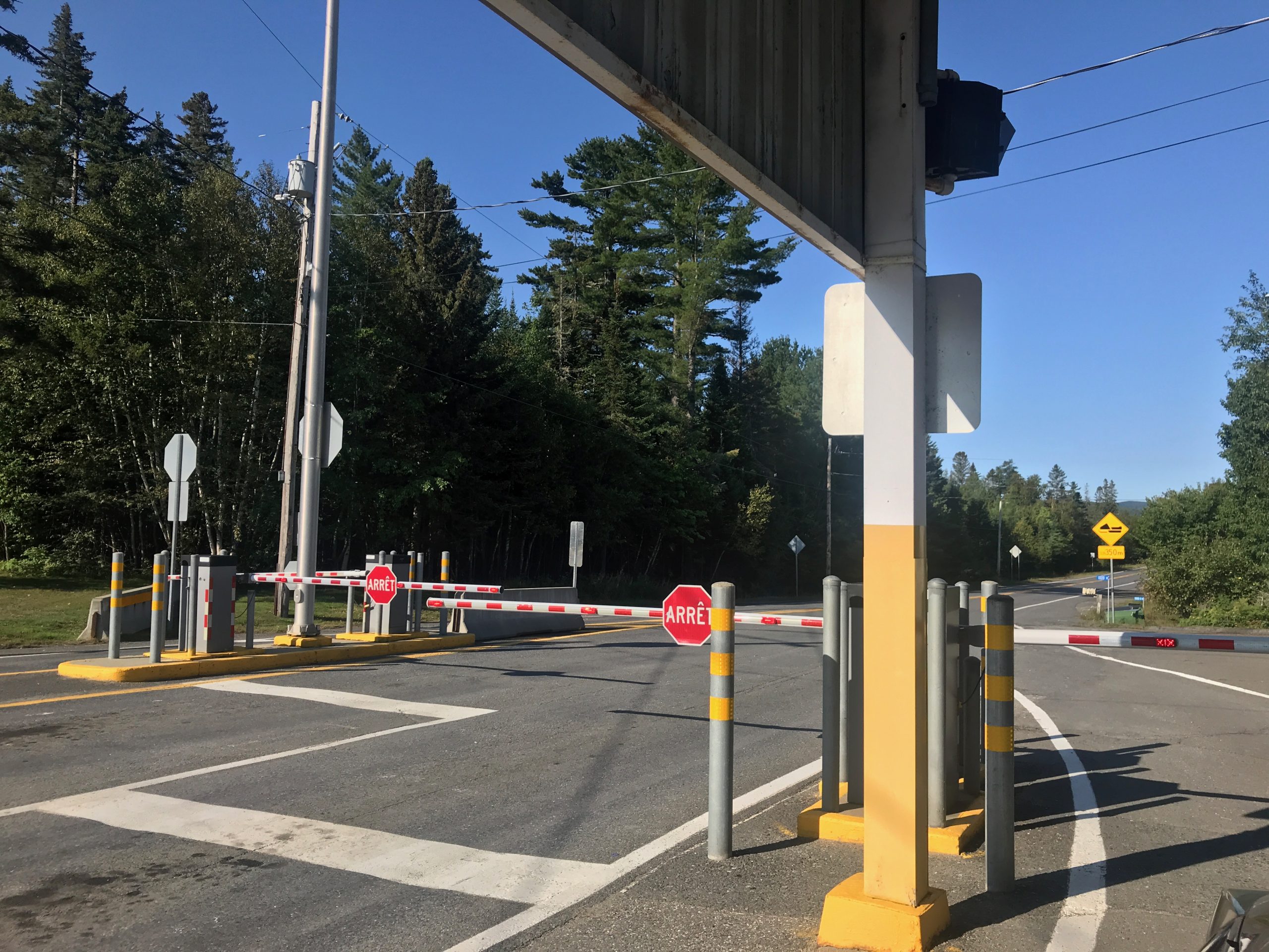
As always we were up and out relatively early, wanting to be on the trailhead by 9am. We knew we had to cross the boarder, and because of that (and COVID), we were equipped with our test results and our passports. The border crossing was about an hour drive from our B&B in Carrabassett Valley – northward on Rt 27. In that part of Maine, there really isn’t much around – other than logging trucks doing 60mph on single lane roads!
We arrived at the border and handed over our passports – a few of the usual questions and the guard disappeared into the building. Returning, he asked if we had our ArrivCAN information. Huh? As it turns out, Canada had created an app where visitors had to register and provide their test results, their quarantine plans, etc. Ok, no we hadn’t done that – so, just download the app, upload our information, no problem. Except this is northern Maine – the nearest cell coverage was about 35 minutes back toward Carrabassett Valley!
In a parking lot of a random landscaping business, we downloaded the app and uploaded our information. Oh, and here’s the best part. It required a quarantine plan/location – but it had to be in Canada – go figure. We entered the address of Jeanne’s cousin – 12 hours away in Ontario! It accepted it, we returned to the border and were allowed to enter Canada. sigh, so much for travel during COVID.
The trailhead leaves from a parking area in the ZEC Louise-Gosford – a “zone d’exploitation contrôlée” (controlled harvesting zone) (ZEC) – something I’d equate to a state or national forest – just inside the Canadian Border.
By the time we reached the ‘visitor center’ in the park, it was near 11am, and there was a line out the door. Remember, Canada, french speaking – it took us a few minutes to learn that the line was for parking permits. More time, now waiting in line.
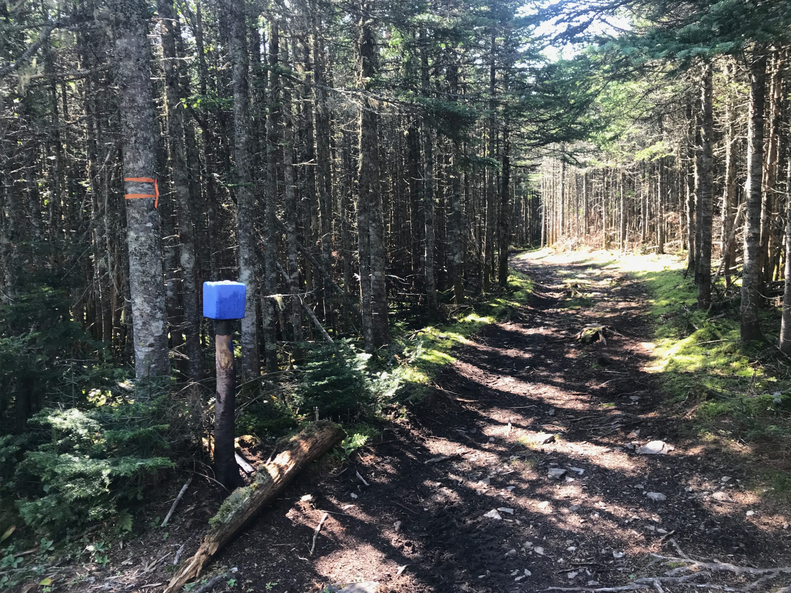
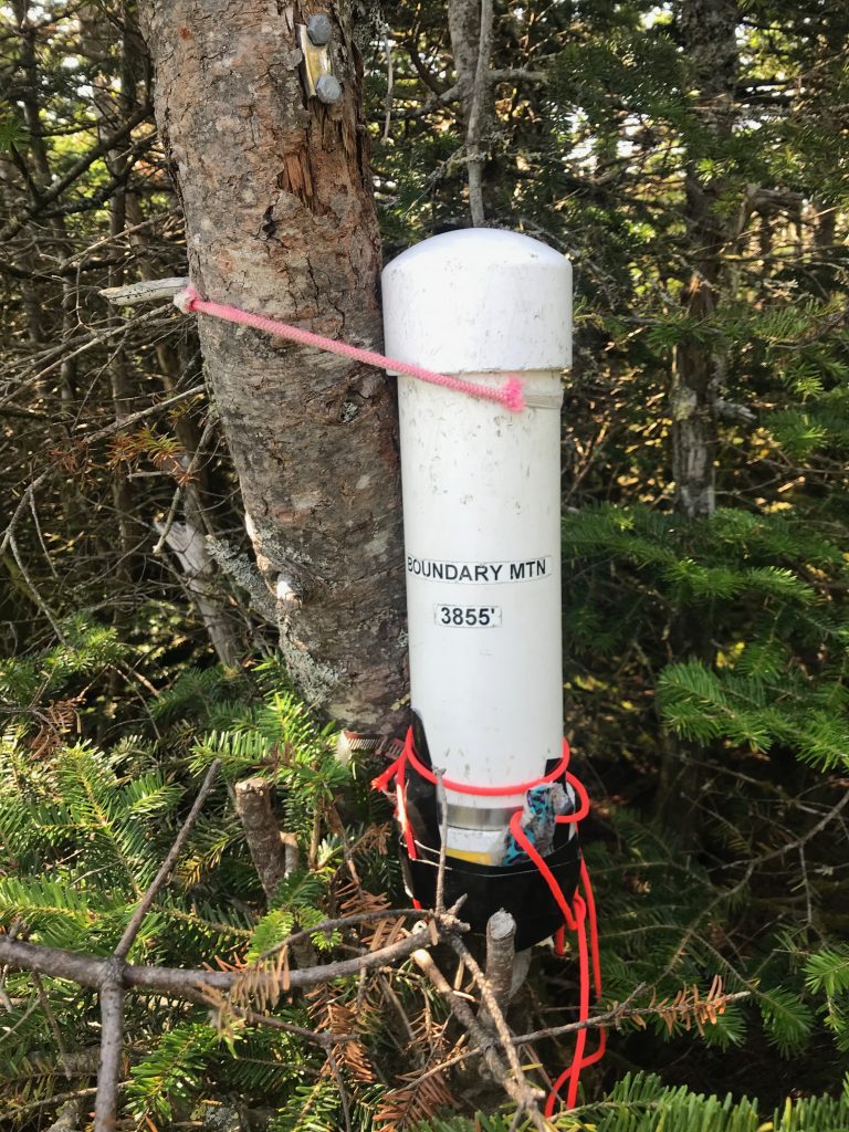
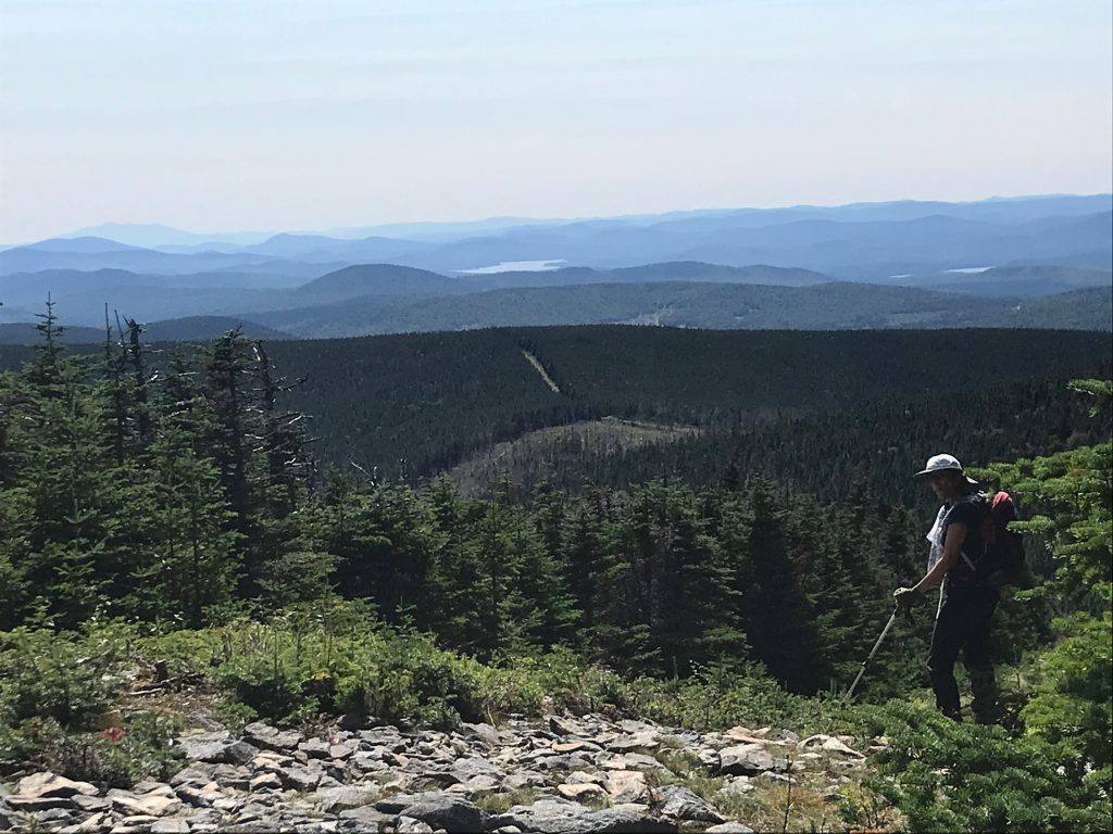
Yes, we eventually got to the parking area and the trailhead. You can read about some of the trail details here, and for directions, read here. For us, we’ll just let the pictures do the talking!
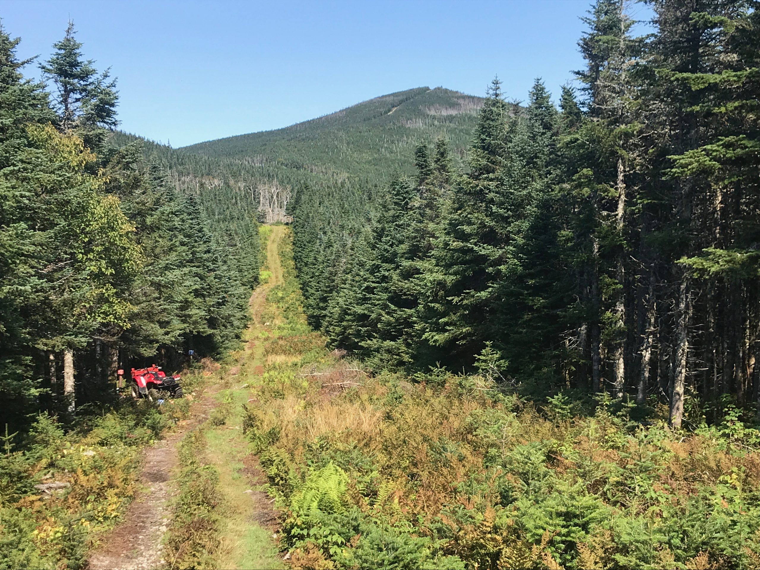
The border path itself was just a clear-cut in the dense trees. On the Canadian side, we walked past maybe a dozen “hides” – places for hunters. The American side was just forest.
Overall, it was a really beautiful day, and a fun hike – border crossing adventure and all.