In our quest for the 48 4000 foot peaks, we’d left a number of the ‘singles’ until the end – day hikes where we’d only get a single peak in a day. All of our hikes this year – Cannon, Cabot, Waumbek – were among them, Mt Moriah was another. Like Cabot and Waumbek, Mt. Moriah is pretty far north, right outside Gorham, NH. We’d made reservations at the Libby House, because of it’s close proximity to the trailhead. Unfortunately, mid-week prior to our planned hike, we got word that the Inn was closed, so we had a bit of a scramble to find a place to stay. Fortunately, we found another place near the trailhead.
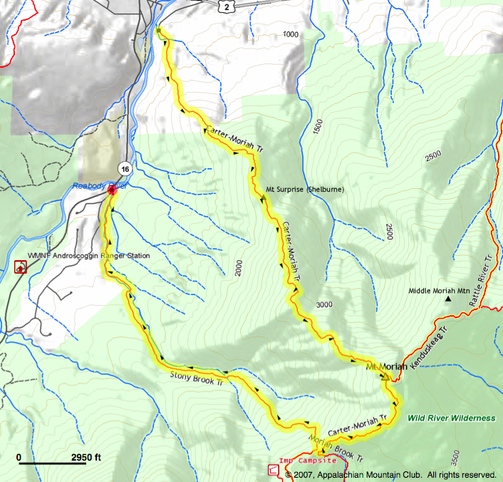
Mt Moriah is at the northern part of the Carter-Moriah trail – which starts in Gorham and runs south, ending just beyond the Wildcats (we’d done the Carters and the Wildcats 2 years ago). Instead of doing a simple out-and-back, we decided to do a loop, heading up on the Carter-Moriah trail, following the ridge on the CM trail for a bit, then heading down via the Stony Brook trail. This would bring us out about 2 miles from the starting point, so we again planned on bringing Peter’s bike so we could leave the car at the Stony Brook trailhead.
Still recalling the difficult uphill bike ride when we’d used the bike to drop the car off for Mt. Isolation, this time we investigated the topographic map to see what we were getting into! Fortunately, it was a gradual downhill from where we dropped the car :-).

Our hike day arrived with a forecast of partly cloudy skies and moderate temperatures. We headed out early, arriving in Gorham shortly after 9. The hotel allowed us to check in early, so we dropped our gear, and Peter took off to leave the car at our destination – the Stony Brook trailhead – and on return, we locked the bike in the room and headed out, quickly covering the 1/2 mile road walk from the hotel to the trailhead.
Once on the trail, we immediately started to gain elevation – and the elevation gain continued at fairly substantial incline all the way to the summit. For a good part of the way, this was a woods walk, but we were rewarded a few times with some great views. In the picture at the left, you can see Gorham in the far distance. The partly cloudy skies, and crystal clear air painting a stunning picture of light-green/dark-green swatches on the valley floor.
And a little further along, we again broke from the woods at a ledge and were rewarded with some more views of the valley floor and also of the northern Presidential range. In the image below, Mt. Washington is off to the left (still some snow in Tuckerman’s Ravine!), Mt Madison is just right of center, and to its left is Mt. Adams, in the clouds.

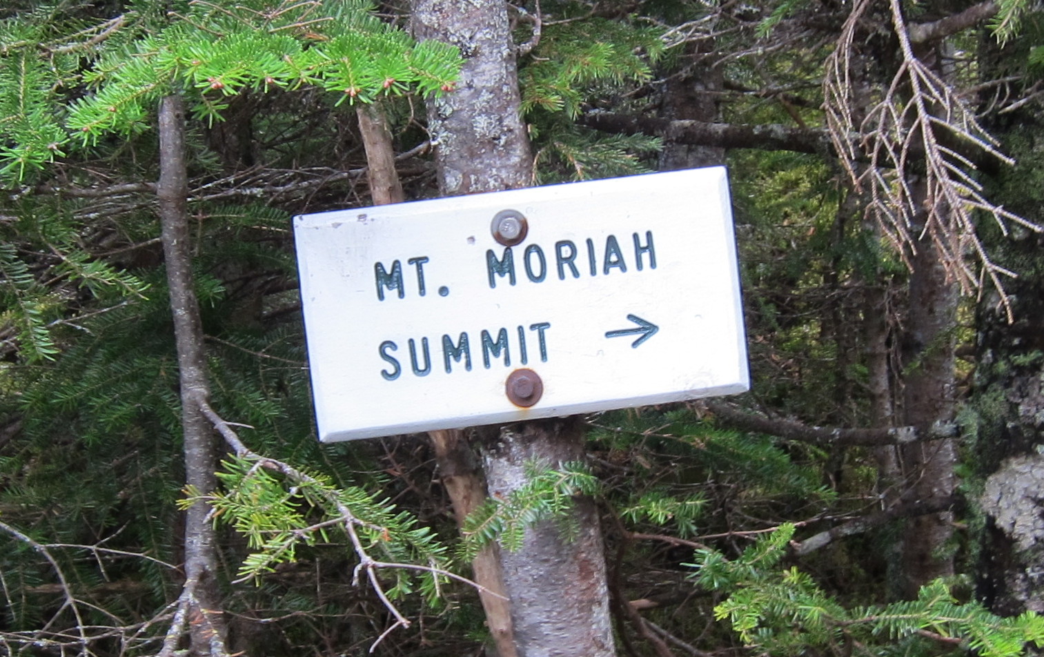
Continuing on, we re-entered the woods, though still at an incline all the way up to the summit. As with most of our peakbagging, there were a few other hikers on the summit, so we were able to get a celebratory photo of the two of us! Forty four, we’re getting close to done!

Maybe it was the persistent up-hill that made it a fairly warm hike, but when we hit the summit, there was a chilly breeze that cooled us pretty quickly. So we downed our lunch (sliced turkey and cheese) and headed off the summit boulder for the brief ridge walk on the Carter-Moriah trail to the Stony Brook trail.
A few views of the Carters (Middle, South and Carter Dome) on the way down – still painted by the partly cloudy skies and we were back at the car by 4pm – a 6 hour hike.

