Unlike many of our other hikes in the whites, we hadn’t originally planned an overnight stay with this hike. This being the last in our list of 48, and with its reputation of outstanding views, we wanted to wait for exceptional weather – a bit of spontaneity. But our comforts, and the thought of driving 3 hours after a hike, won out – we planned an overnight stay at the AMC’s Highland Center.
This summer has been exceptionally good, with mostly dry and clear weekends. Even so, we monitored the weather in the week preceding the hike. We’d originally planned to hike on Saturday, but early weather reports called for 50% chance of rain on saturday, but less chance of rain and more sun on the day before. Fortunately, we were able to move our reservation at the Highland Center, and so, arranging to take a day off from work, we headed out at 6am, planning to be on the trail by 9:30.
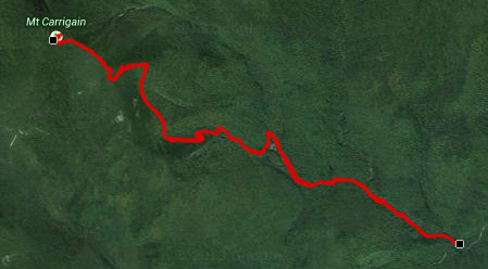
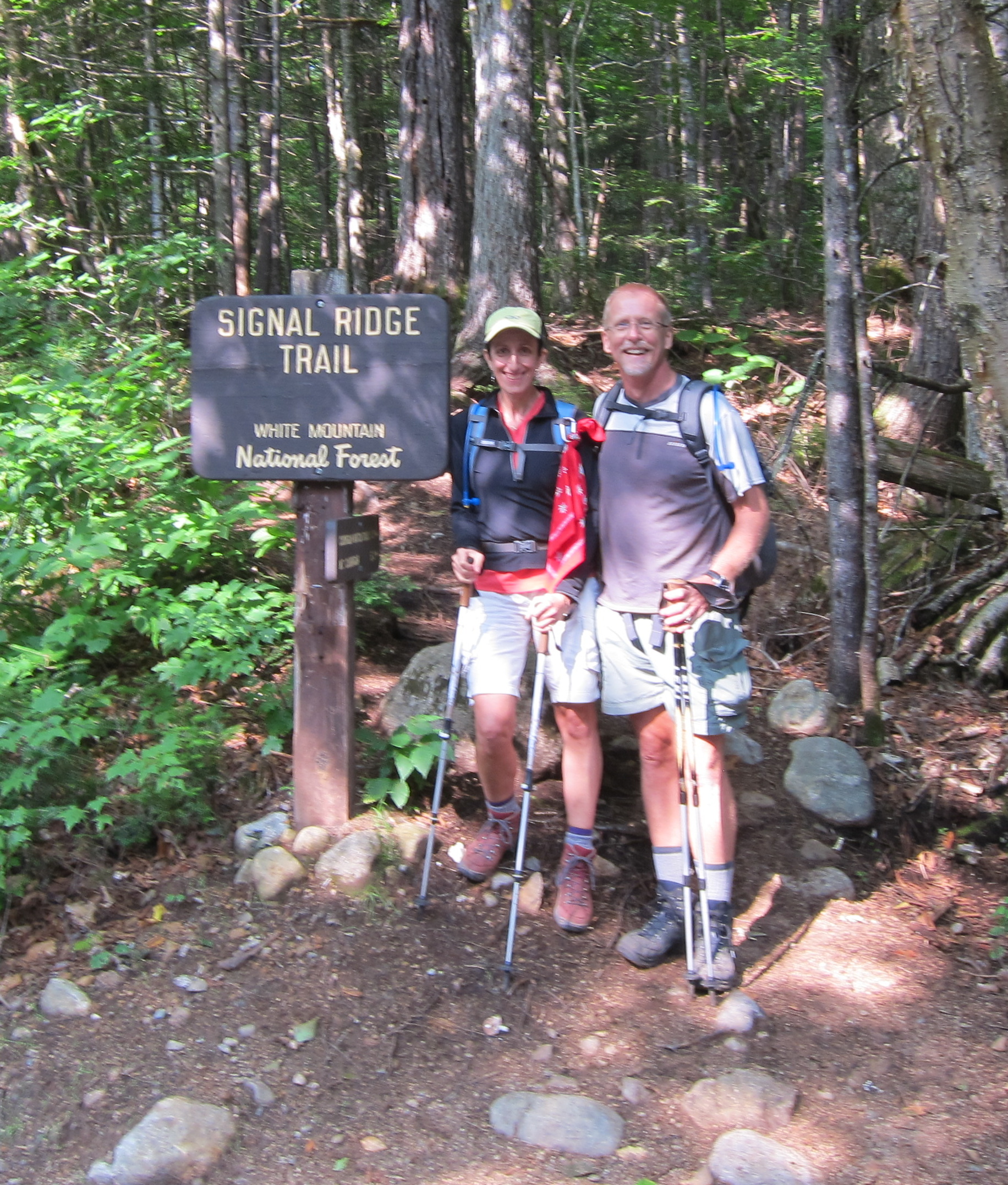
Our route to Carrigain followed the typical out-and-back route on Signal Ridge trail from its trailhead on Sawyer River Rd. Book stats for the hike is 10mi, with a round trip time of just under 7hrs.
For us, there was probably a bit of adrenaline at work – the excitement of completing the last peak in the list – we made the first time check at the junction of Signal Ridge trail with Carrigain Notch Trail well ahead of 1hr 18min book time. Until that point, it was mostly a gradual grade, though more ‘rooty’ and muddy than either of us expected. Even so not too surprising that we were ahead of schedule. Shortly after that junction and a river crossing, the grade became steeper, a steady uphill with periodic zig-zags, gradually leveling off about 3/4 mile from the summit.

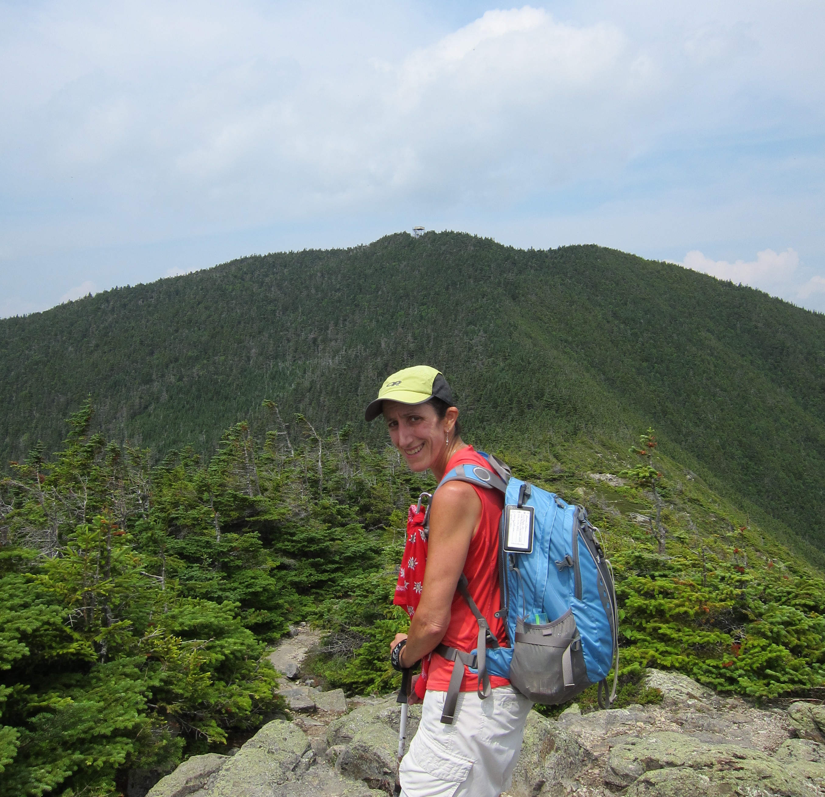
Once the trail leveled out, we came to the first open ledge, where we could see clearly to the east and the exposed cliffs of Mt. Lowell. While there weren’t any clouds, visibility for the day wasn’t great – probably 15-20 miles, but even so, we had some great views of Mt. Lowell in the eastern foreground. Just to the north we could see our destination – the Fire tower on Carrigain’s summit – this was it, just a short distance to go to complete our list!
Surprising for a Friday, we bumped into a number of people on the trail. Our experience had told us that on these less-popular peaks, it was mostly those attempting “the list”, so our frequent question – what number? One fellow hiker was at 26, attempting all 48 in a single year, finishing before his 41st birthday in October. Another, completing number 46, with only Moosilauke and Madison remaining. It’s always interesting to hear the story behind their choice of finishing peak. As we told our story, congratulations were offered.
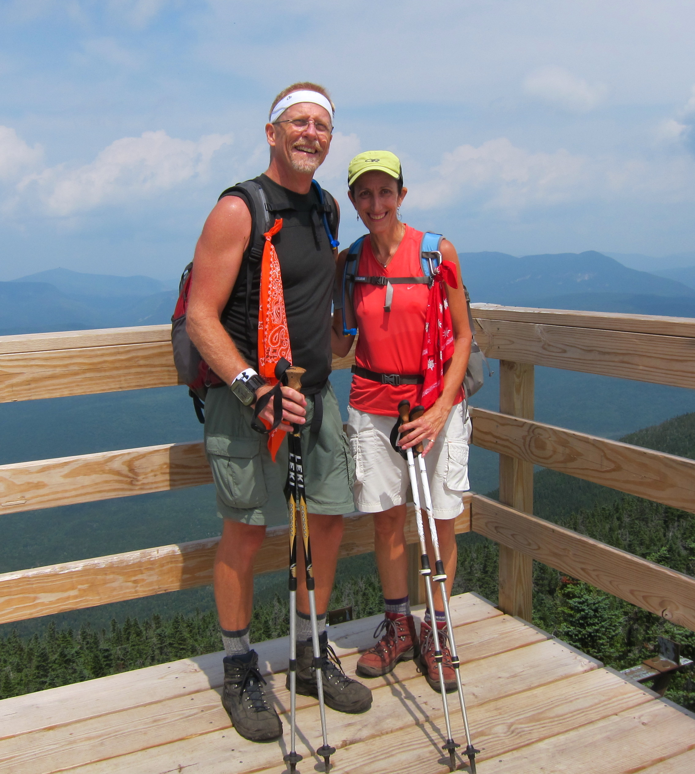
Reaching the summit, and walking up the stairs on the fire tower, the views were amazing – 360 degrees. The few other hikers there, also marveling at the views, congratulated us on finishing the 48. Another pair of hikers was also finishing their list on that day.
The frequent question we heard – which was our favorite. A difficult question to answer, each was special in its own way. Some were our favorite for the views (Isolation, Carrigain, Madison, Lincoln/Lafayette), some for the challenge (Owls Head, and the slides of North Tripyramid, and Flume), the shear majesty of the Presidential range, and the community and pride felt on the Kinsman Ridge during Flags on the 48. Each was unique in some special way.
Carrigain itself is fairly isolated, but even with the reduced visibility, the views were excellent. Mt Hancock just to the west; Bond and Bondcliff about six miles northwest across the Pemigewasset Wilderness; Mt Webster, the southern terminus of the Presidential Range, nearly eight miles to the north; and Osceola and Tripyramid over eight miles to the southwest and south. Chocorua is over twelve miles away to the southeast and was barely visible, and we could barely make out Mount Washington, about fourteen miles to the north. And it’s said that on a clear day you can spot Camel’s Hump over 100km away in Vermont; we weren’t so fortunate.


It was a bit windy on the fire tower, so we descended the tower and cracked into our lunch and our celebratory bottle of champagne, enjoying the sights and reflecting back on various hikes in our list. Too soon, it was time to pack up and head back. A refreshing shower and dinner at the Mt. Washington hotel awaited!
The trip down seemed to pass more quickly, though our time nearly matched our ascent time. Conversation often drifted back to ‘finishing the list’. What do you think? How do you feel? What do we do next? Explore other trails? Volunteer for trail maintenance? The New England 67? Either way, come back for more.
In the application for the 4000 footer club, it says the club was formed to “encourage hikers … to strike out into less familiar areas”. For us, the club and the list certainly accomplished its goal.
Thank you.