After a few days centered in Queenstown, we wanted to branch out a bit – try to experience some of the famed Great Walks of New Zealand. Nearest to Queenstown is the Routeburn Track, typically a 3-4 day point-to-point trek which makes its way through the Humboldt mountains.
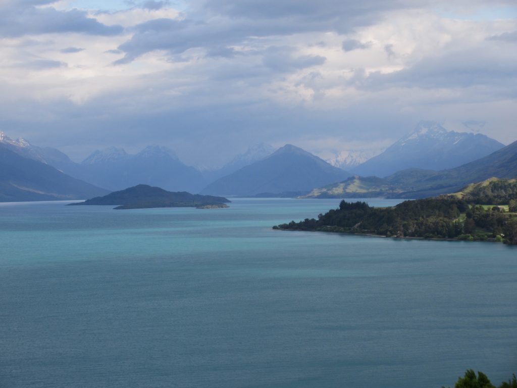
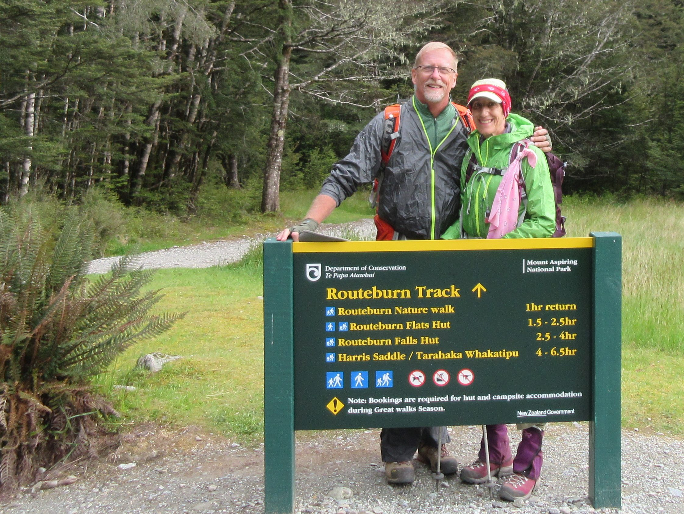
The plan was to begin at the Routeburn Shelter trailhead, north of Glenorchy, make our way to the Routeburn Falls hut, and return on the same path – roughly a 12 mile round trip. We headed out early, expecting a full day and, while the drive northward toward Glenorchy along Lake Whakatipu was beautiful, we also saw some threatening skies.
Undaunted, we continued to the trailhead and unpacked our rain gear – always easier to put it on in dry weather!
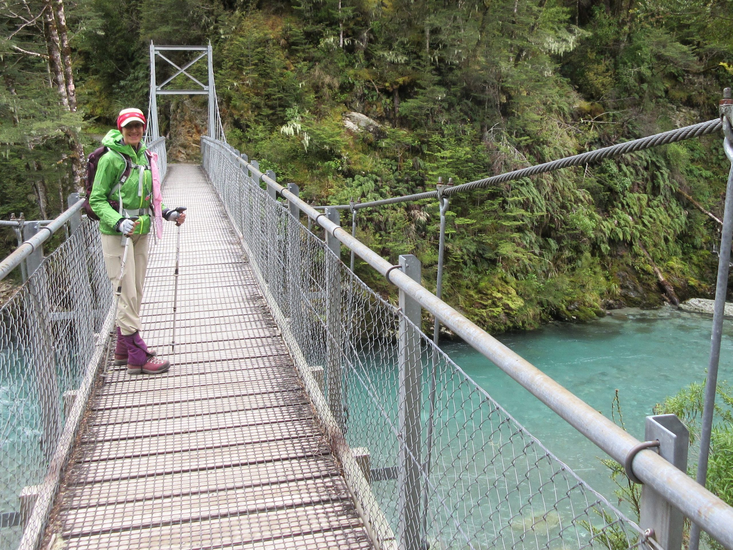
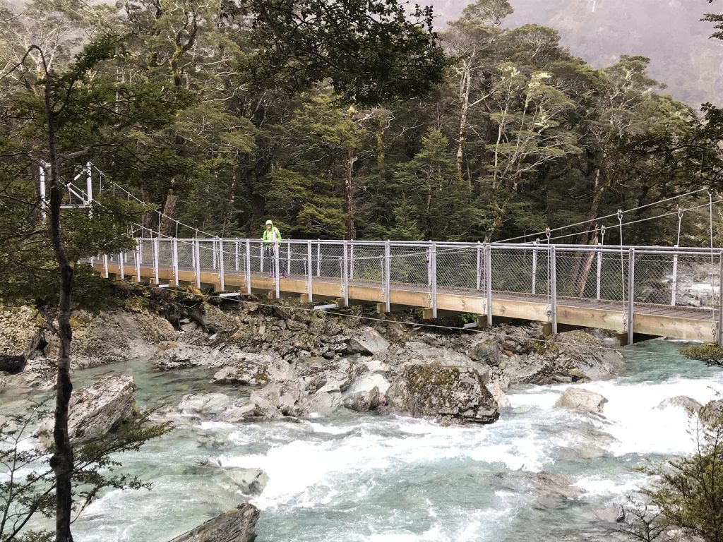
Early on, we had a stream/river crossing. This was really our first experience with one on the island – and what a treat! The kiwis take their trekking seriously – and the bridge across the river was testament to that.
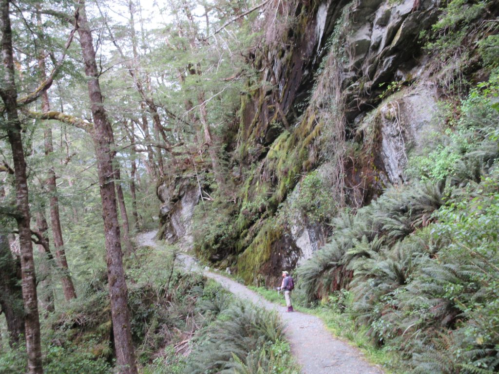
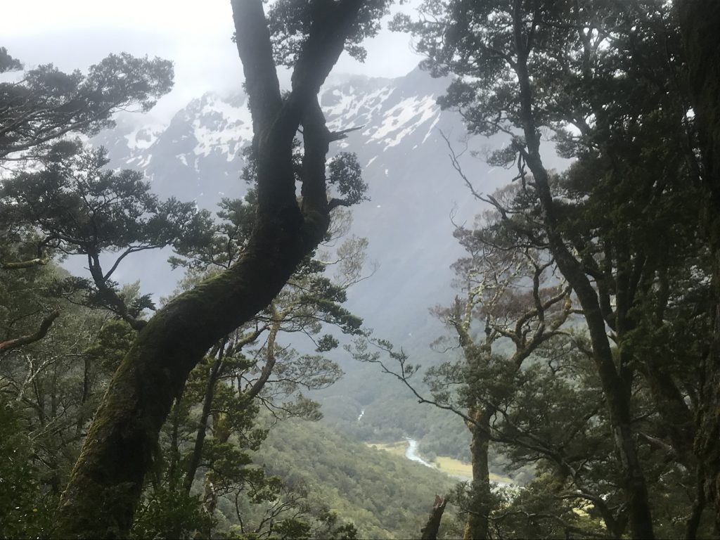
This was the 3rd trek on our trip. We were beginning to get a sense of trekking in New Zealand . This track was a wildly different experience than on the preceding days. While Ben Lomond and Roy’s Peak had been grassy and alpine, the Routeburn track had the feeling of a rainforest – dense vegetation all around.
Though even at one point, it also opened up to a grassy flatland – the Routeburn flats.
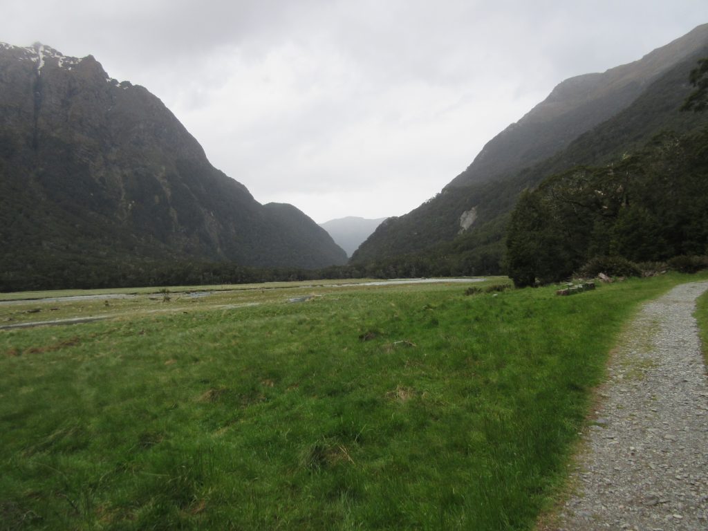
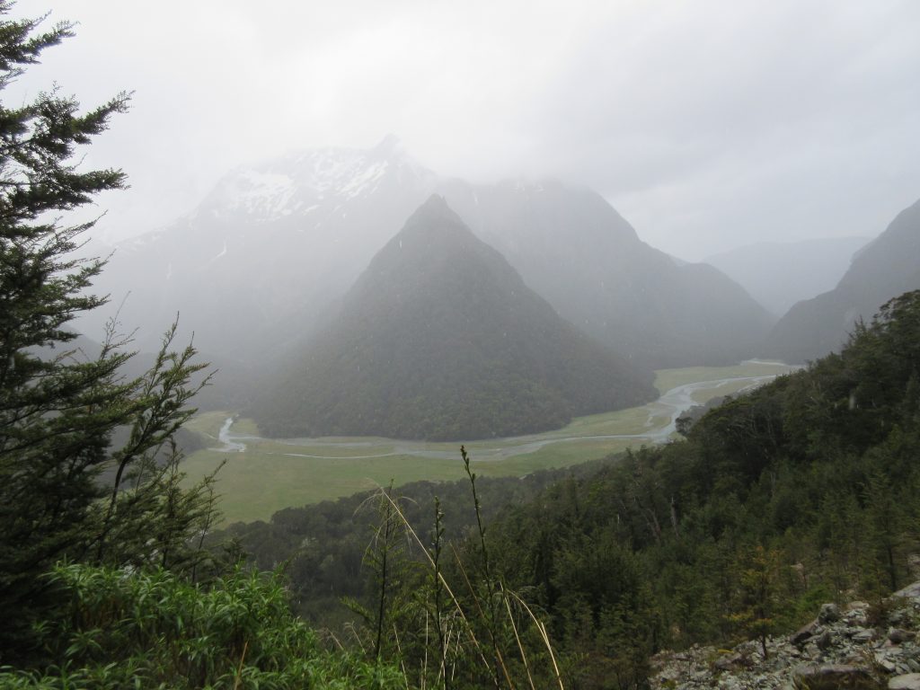
Leaving the Routeburn flats behind, we headed inland a bit, gaining elevation, getting an extraordinary view of the flats themselves. One can just imagine the glaciation and sedimentation which happened to create the flats.
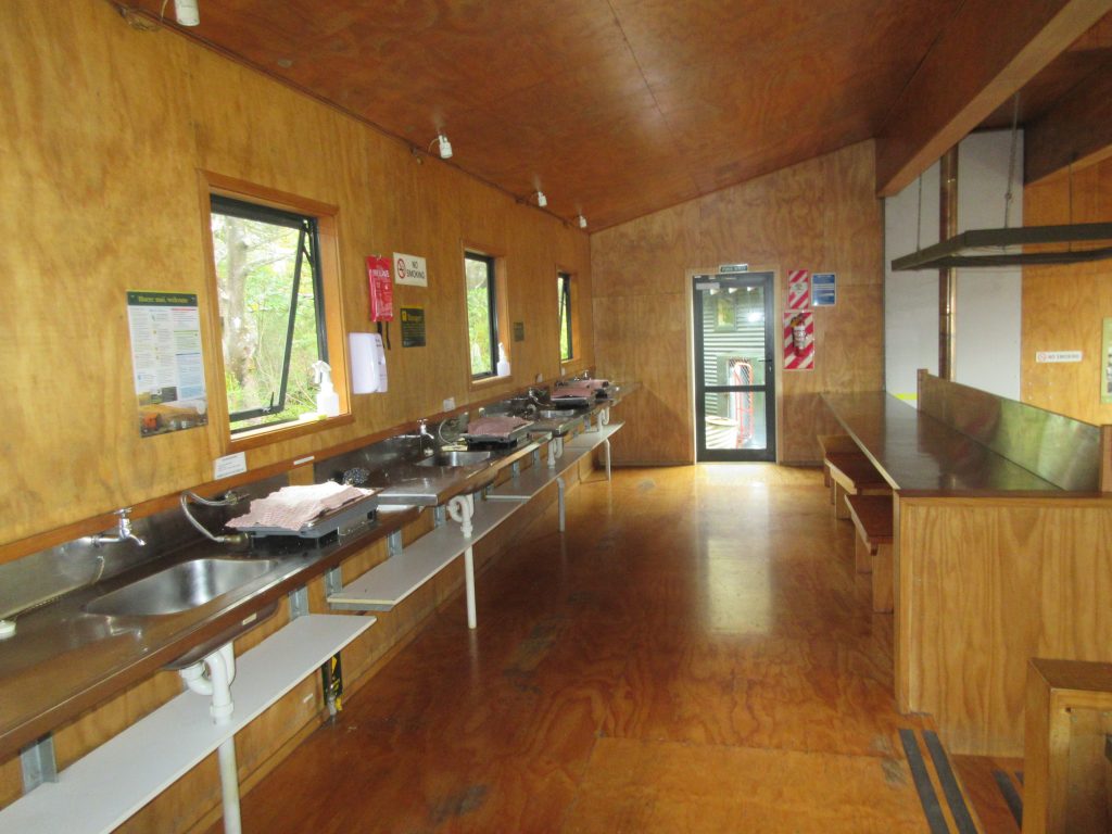
Shortly afterward, we arrived at the Routeburn Falls hut – just in time to get a bit of shelter as some light rain began to fall and a bite to eat. The hut itself was very reminiscent of the Appalachian Mountain Club huts we’re familiar with in New Hampshire’s White Mountains. An interesting difference to these huts though was the multiple self-cook stations available – each with its own small gas burner/stove.
Finishing up our lunch/snacks, we waited for a let up in some of the rain, then headed back the way we came. As always, even on the same trail, the views/perspectives are very different. Here’s yet another of The Flats:
and the ubiquitous suspension bridge crossing:
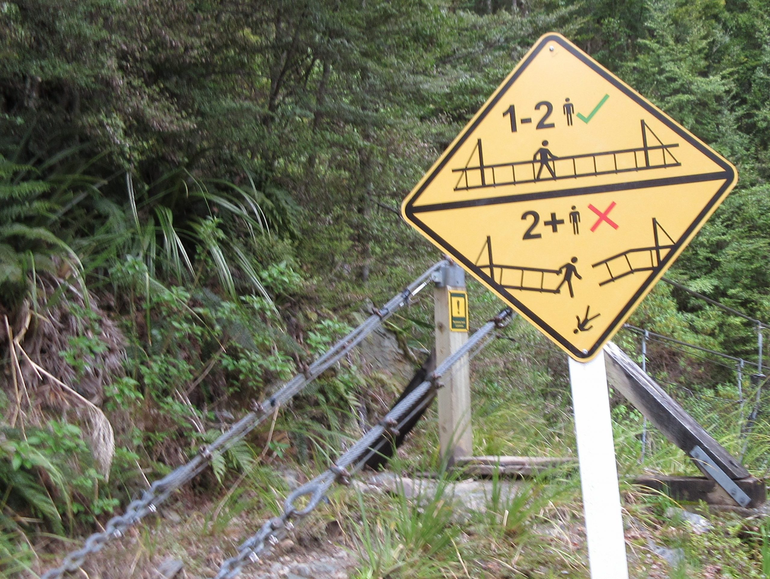
and you just had to enjoy the caution signs – pretty much self-explanatory:
when all was done, it was a great hike – lots of really unusual scenery, not too strenuous from an elevation perspective, just some good, solid distance:
| Total Distance | 12.73 mi |
| Total Time | 5 hrs 6 mins |
| Elevation change | 2,310′ |
2 Comments