The first day of our week-long peak-bagging in the Adirondacks summits had really kicked our butts! As a one-day hike, the 3-summits of Iroquois, Algonquin, and Wright were massive and we were feeling it on our second day.
We decided on a “zero-day” and took on a bit of relaxation in Lake Placid, walking around town a bit and exploring the area. In our COVID-19 era, the town was thankfully not hugely crowded, and some folks were taking precautions, as was the Black Bear at the restaurant!

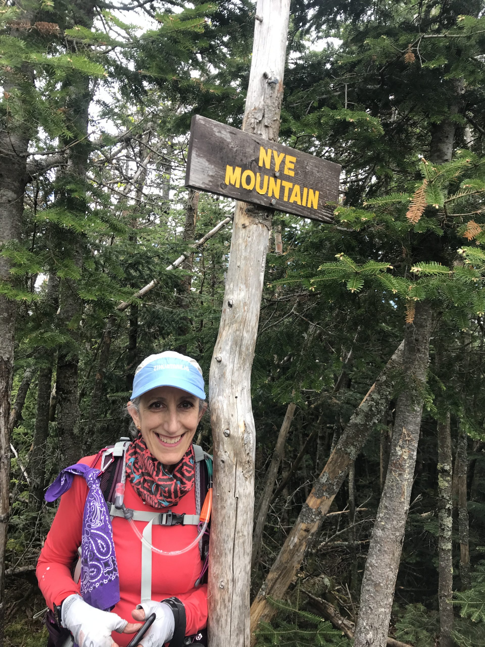
Following our rest day, and with our our newly gained healthy respect for ADK peak-bagging, we decided on Street and Nye as our next summits in our 46er list.
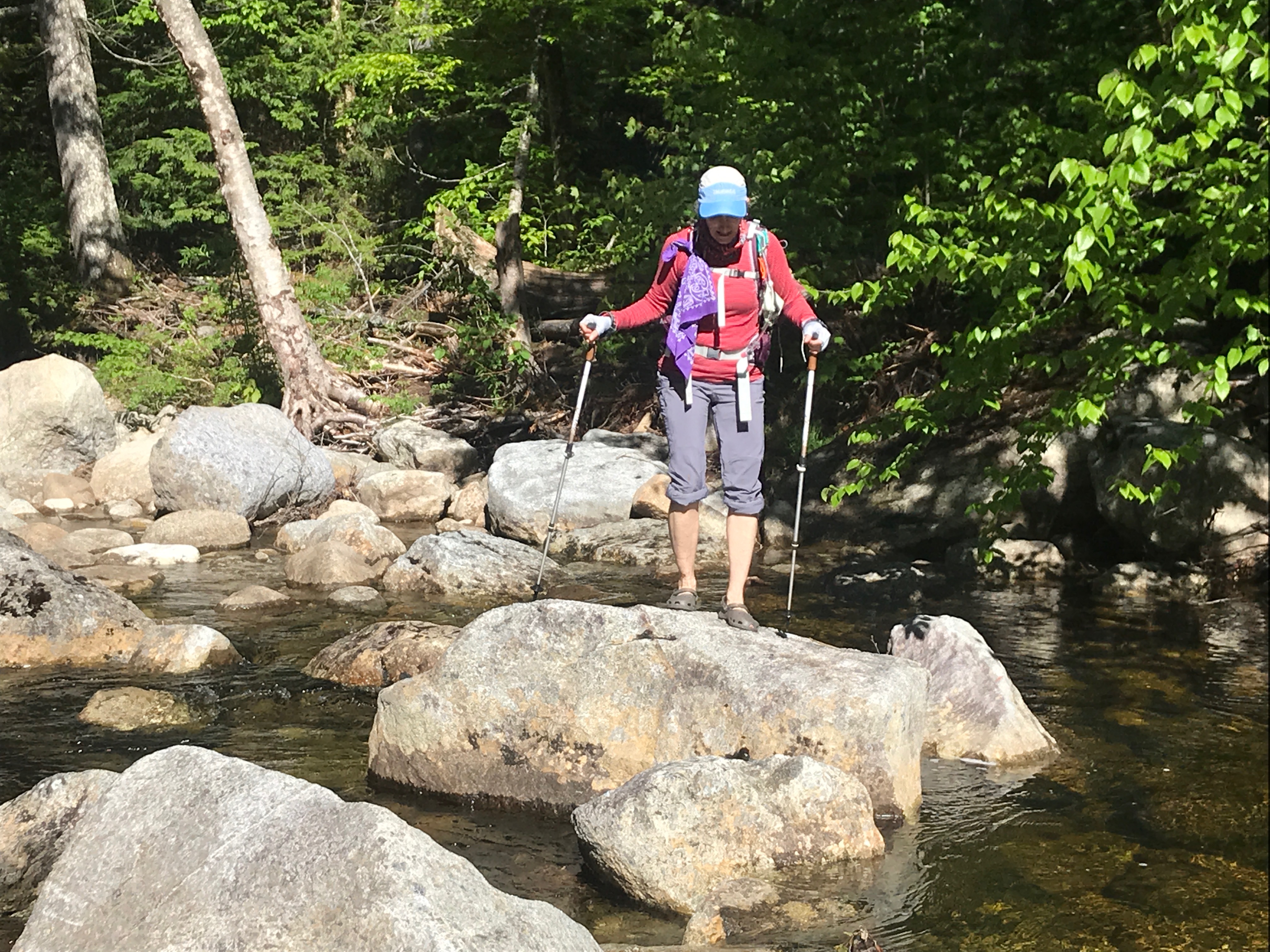
On paper, it’s a 7.8 mile out-and-back hike departing from the ADK Heart Lake Loj trailhead. And while the distance sounded more manageable, the unknowns for us was that it’s not an officially maintained trail – one of the many herd-path trails that make up the Adirondack 46er list . Adding to that uncertainty, the blogs and trail guides were pretty clear about a stream/river crossing, especially challenging during high water seasons. So we decided to add our crocs to our day-hiking kit.
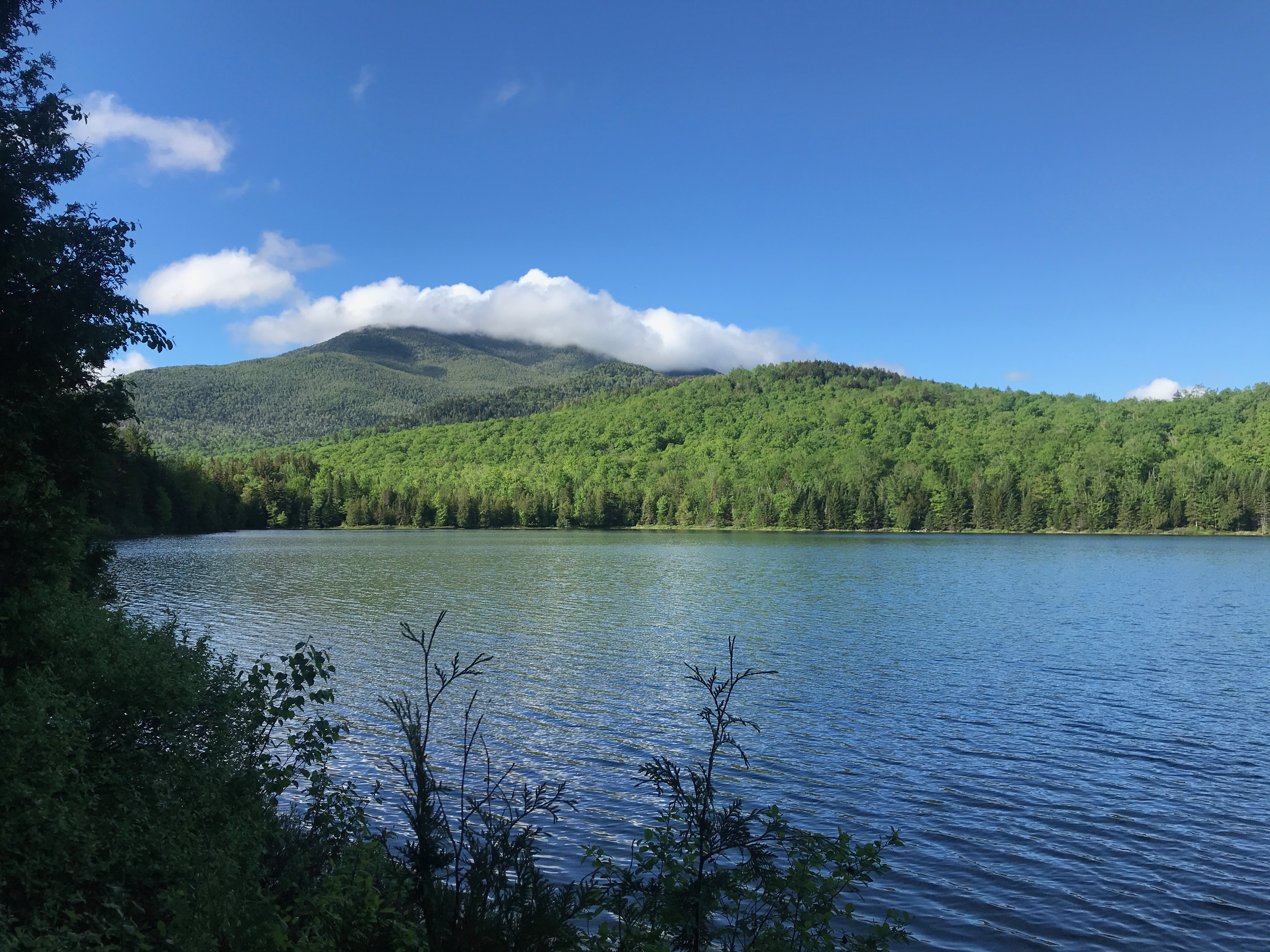
We continued to be blessed by good weather during our week, so we again headed out early so as to not get closed out of the trailhead parking at Heart Lake Loj – which typically fills by 8am. Arriving and gearing up, we headed out on the Mt Jo trail, stopping briefly for the photo-op at Heart Lake.
The Mt Jo trail itself was easy going – well worn and in fact, a relatively gradual down-hill from the Loj until we reached the stream crossing at about 1.7 miles. This being an unmaintained trail, there wasn’t a single-obvious place to cross the stream – many opportunities were available – so we spent a bit of time trying to choose a crossing point that included some dry rocks and relatively shallow water. It was also a bit of a challenge to see the connecting trail on the opposite side. We eventually settled on a location, and brought out the crocs!
Drying off, we skirted the stream for a short bit on a narrow stretch, then turned ‘inward’ – away from the stream and through a meadow, gradually gaining elevation after that.
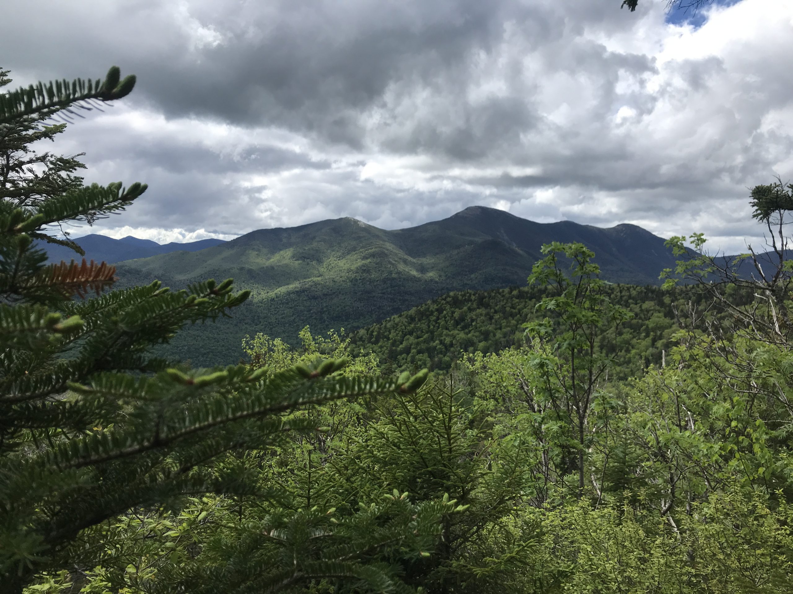
Most of the trail was wooded, with only a few short sections with some views, though generally wooded.
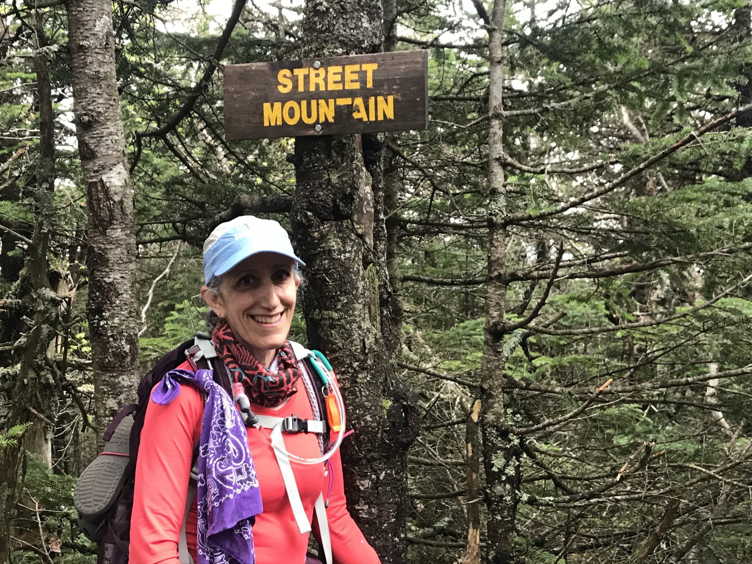
Both of the summits were also in the trees, so nothing much to show, other than both summits had signage – a good thing!
In all, it was a fairly substantial hike. By the numbers:
| Total Distance | 10.85 miles |
| Total Time | 6 hrs 58 mins |
| Elevation gain | 2900 ft |
| Average pace | 38 mins/mile |