The plan was to approach Clouds Rest from the north – accessing the Sunrise trail from Tioga Road near Tenaya lake. As the crow flies, the trailhead was only about 20 miles from the Condo, but Yosemite being what it is, it was nearly 60 miles and 1-1/2 hours drive time – we were up and out early, arriving at the trailhead shortly after 8am.

It was a chilly morning, fortunately no snow or frost, but cold enough to see our breath. Bundling up, we were off and made quick headway on the nearly flat trail. But that didn’t last long.
At about 1.25 miles, the trail started to gain elevation, a bit gradually at first, then very steeply, over the next 3/4 of a mile, with many switchbacks long the way.
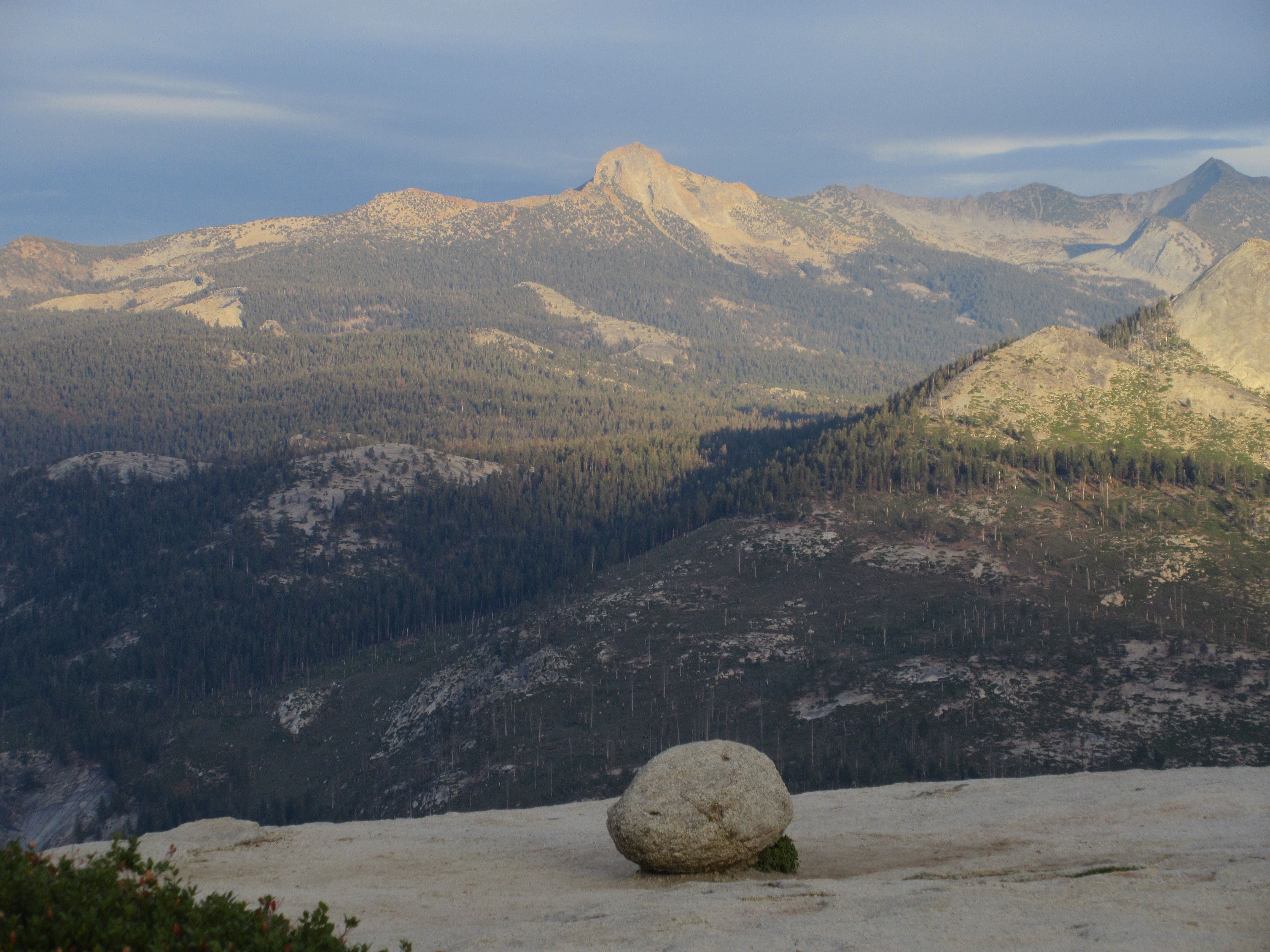
That got us over 9,000 feet, with only another 800 feet of elevation in the next 3+ miles, which we again, covered relatively quickly. That is, until we approached the summit.

Read any description of the Clouds rest trail, and they’ll talk about the “knife edge” over the last few hundred feet to the actual summit. I like this description the best (from Yosemite Hikes):
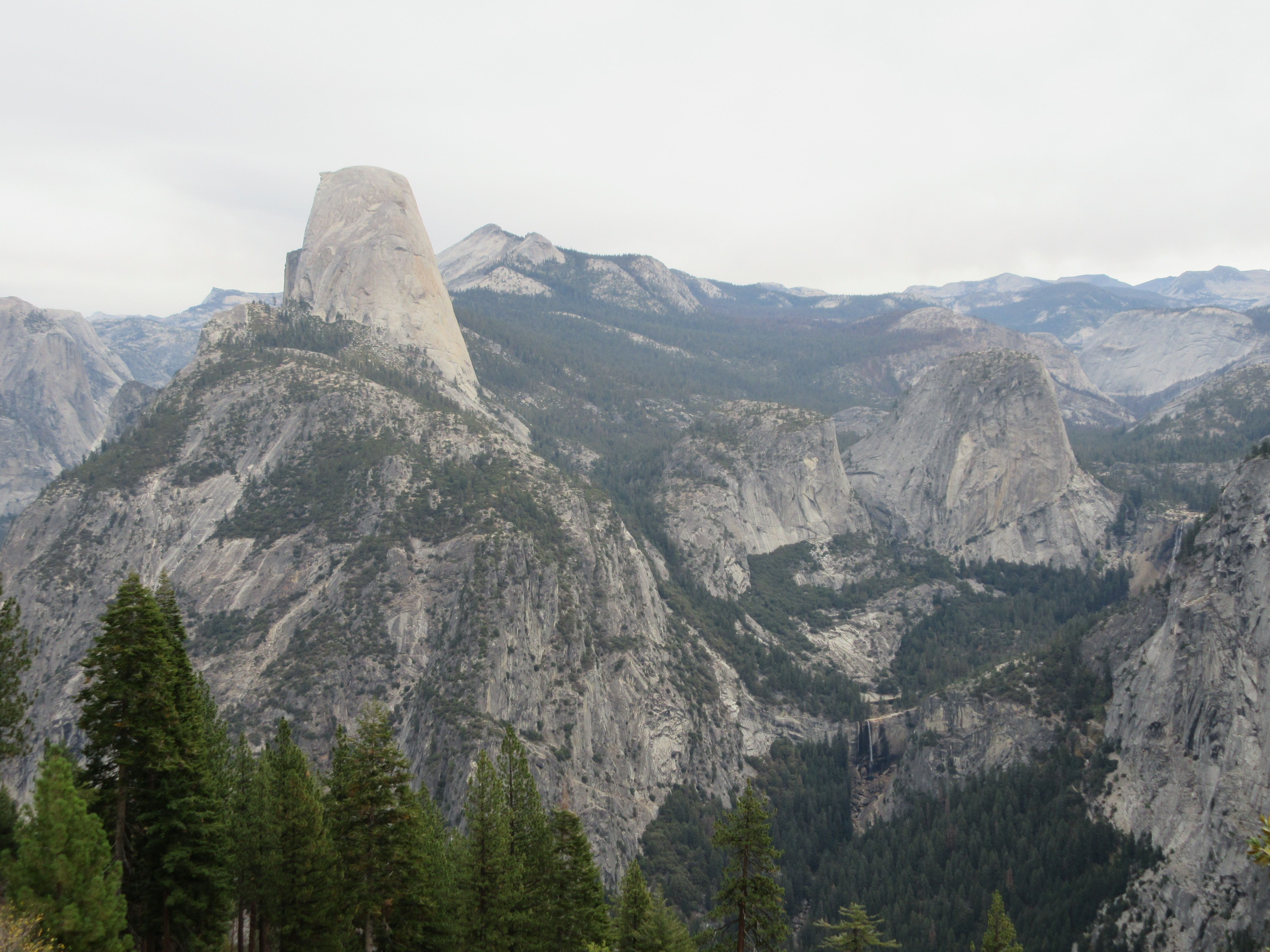
The top of Clouds Rest is a narrow ridge with a long, sheer dropoff on the north side (the side you can see from the Tioga Road). The dropoff to the south is less extreme, but it wouldn’t require special talent to wind up just as thoroughly and symmetrically dead by falling off that side. It’s best to visit Clouds Rest sober and during dry weather.
That said, the route over the ridge is more manageable and less dangerous than Half Dome’s cable route. If you’re slow and careful, you shouldn’t feel like you’re a freak gust of wind or a momentary lapse of concentration away from the bottom of Tenaya Canyon. And the very top of the peak opens up again to around fifty feet wide, which will feel like the Great Plains after the underpants-imperiling knife edge you’ve just crossed to get there.
Begin the acrophobe that I am, we stopped just short of the summit area, not quite getting to the “great plains” of Clouds Rest. Though we were fortunate enough to have another hiker nearby willing enough to snap our photo. No, there were no “a little further back, little further…” Pretty much glued in place, with 1000+ feet of air just off the path.

We quickly made our way down to slightly lower (and safer !!!) ground, stopping to have a bite to eat at the junction to a trail that headed to the south toward John Muir trail. Sliced turkey, cheese chunks, and mini carrots, while sitting on fallen tree. Good stuff!
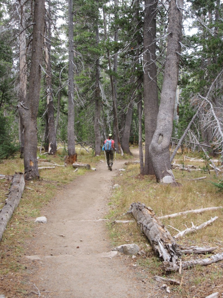
Refreshed, we headed on our way, first gradually downhill, then again making our way through the steep switchbacks. While descent is always tougher on the muscles than ascent, this route seemed much easier than the boulder hopping we’re accustomed to in the NH Whites – the footing was good and someone was kind enough to embed granite steps along the way. We readily made our way through the switchbacks.

Reaching the flat section, it was nice to be able to stretch our legs, picking up the pace for a “walk in the woods”.
We returned to the car by about 2pm, but not before taking a very short side detour to see the beach at Tenaya Lake. I imagined the beach would be crowded during the season, but on this day, it was empty but for a few cars off in the distance. Beautiful country.

Explore other posts from this trip: