Our last full day in New Zealand was spent in Te Anau, following our few days in Milford Sound, and on our way back to Queenstown for our departure from NZ.
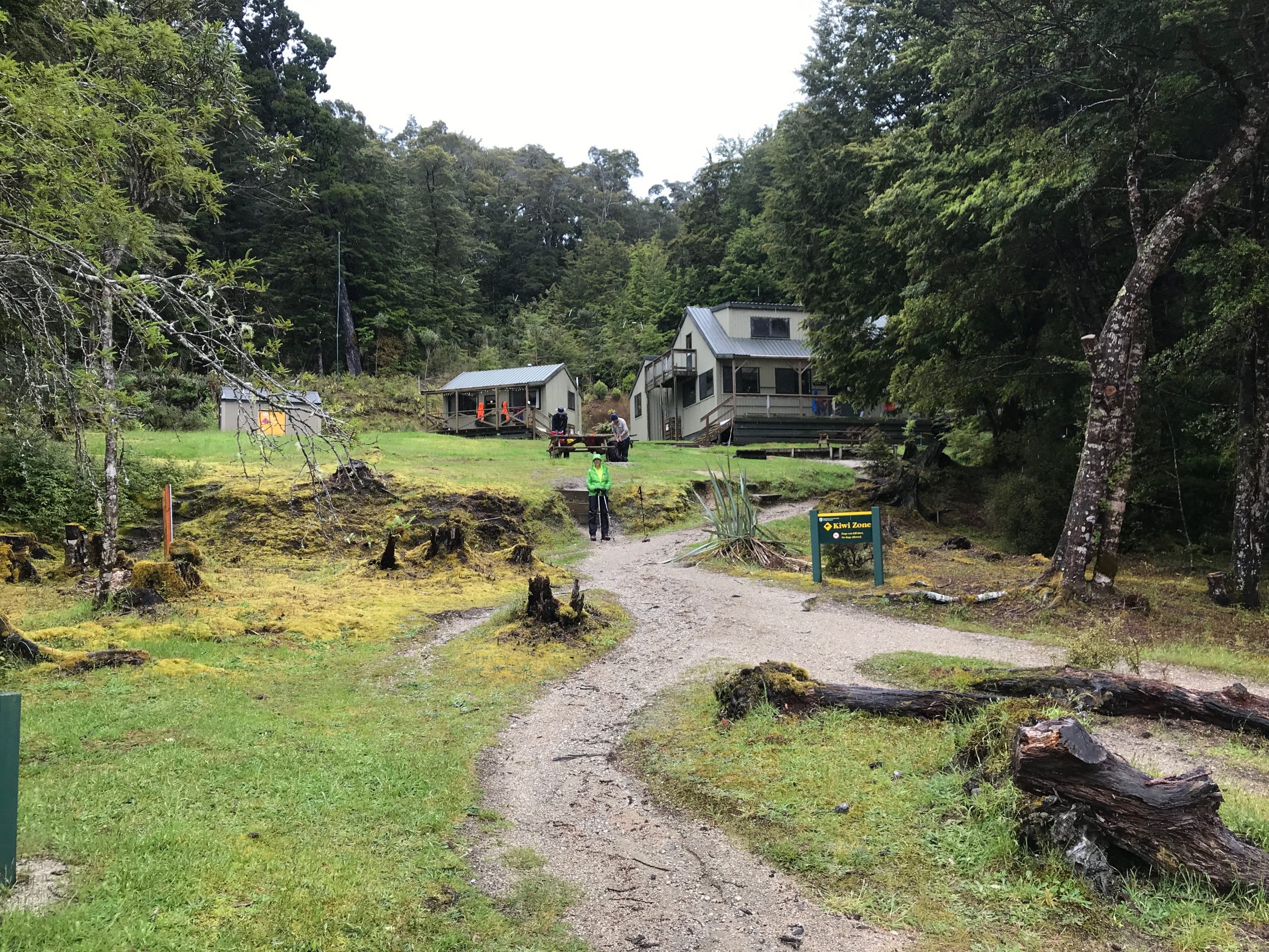
Unlike the point-to-point routes of the Milford and Routeburn tracks, the Keplar track is a 3-4 day, roughly 60km loop with a trailhead not far from Te Anau. We knew we couldn’t do the whole loop, so we decided on a section, heading southward or clockwise on the track.
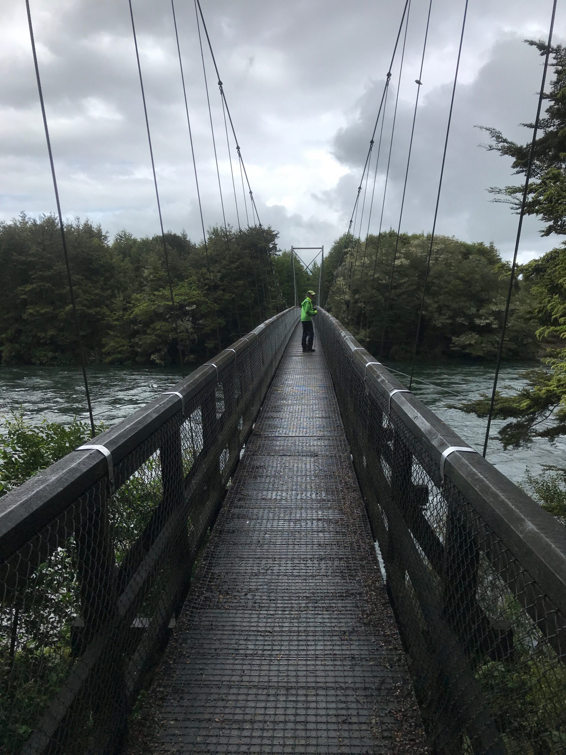
The weather wasn’t great – no clear blue skies. Overcast, with some potential rain. Undaunted, we headed out. Gearing up, we set out and very quickly, came to the now-usual suspension footbridge.
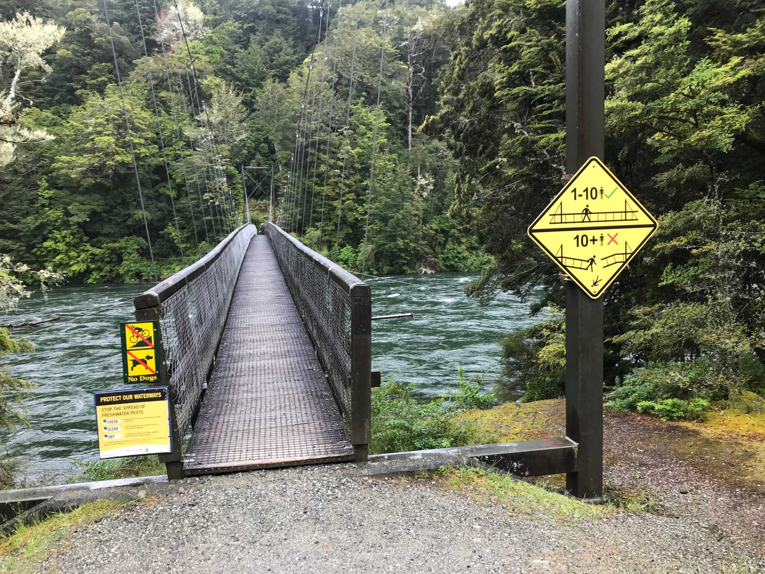
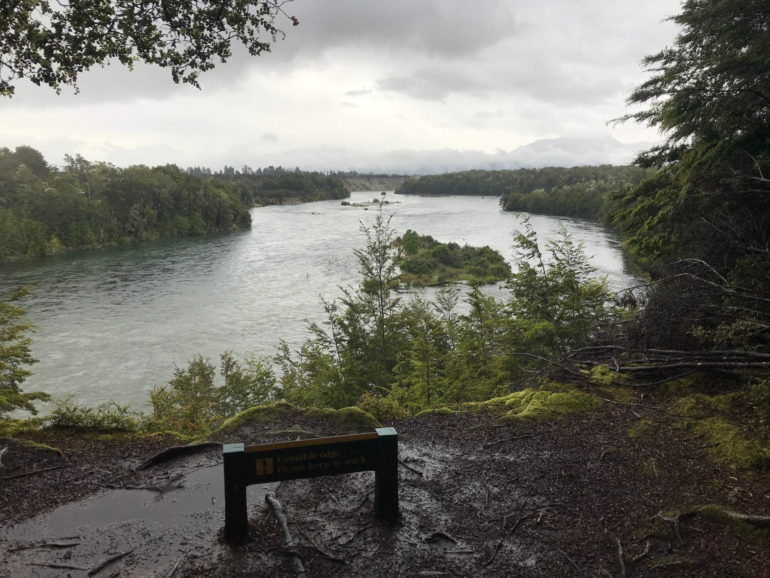
There would have been absolutely no way to cross this otherwise, as is really evident as we turned southward and skirted the river – it’s a regular river, not just a stream.
This section of the Keplar track offered up some additional uniqueness, beyond what we’d already experienced. It included a bog – seen below.
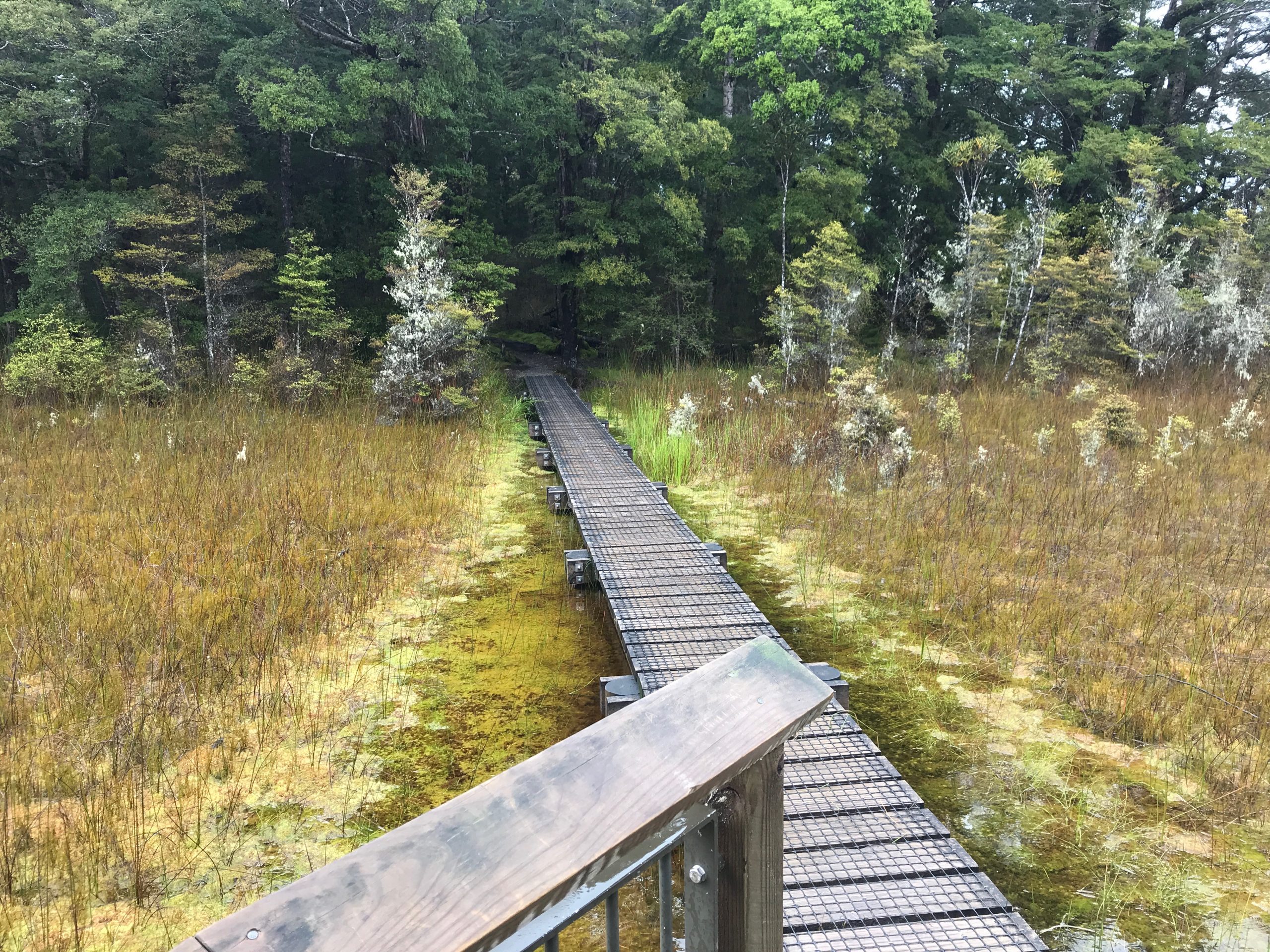
as well as a ton more rainforest-like vegetation.
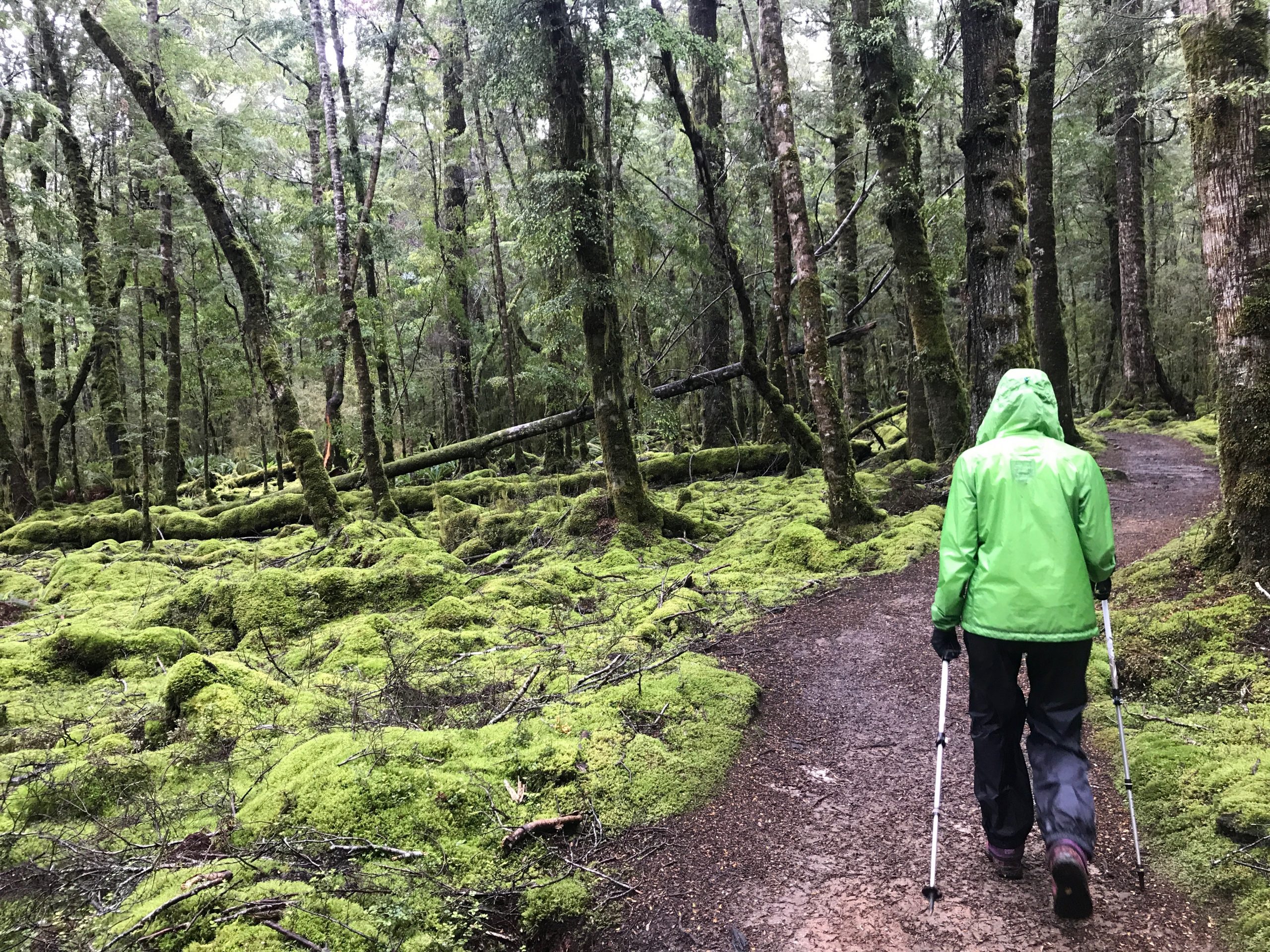
Terrain and footing on the trail were great – no bolders, no problems – wide opening footing. Soon enough, we arrived at the Moturau Hut – overlooking Shallow Bay in Lake Manapouri. Moturau Hut is one of the huts en route, requiring advance reservations. For us, it was our turn-around point.
Mostly a walk in the woods, but these photos of the suspension footbridges were always interesting. This bridge was big, by footbridge standards – and with the rushing water beneath, caused an interesting vertigo effect. Looking down at the rushing water, it felt like the bridge was moving against a stationary background.
When we returned to car, and as seems to be the case frequently in NZ, we ran into a hiker, finishing the Keplar track, looking for a ride back to Te Anau. A woman who took a year off from school in the states to spend time in New Zealand. Perhaps lost opportunities at our age, kudos to her for the courage to take the road less traveled.
In all, the route did not gain/lose much elevation, and an experience which was vastly different than the grassy alpine regions we experienced on the Ben Lomond track or Roy’s Peak track.
| Distance | 8.9 mi |
| Elevation Gain | 610 feet |
| Elapsed time | 2hrs 51mins |
Comments