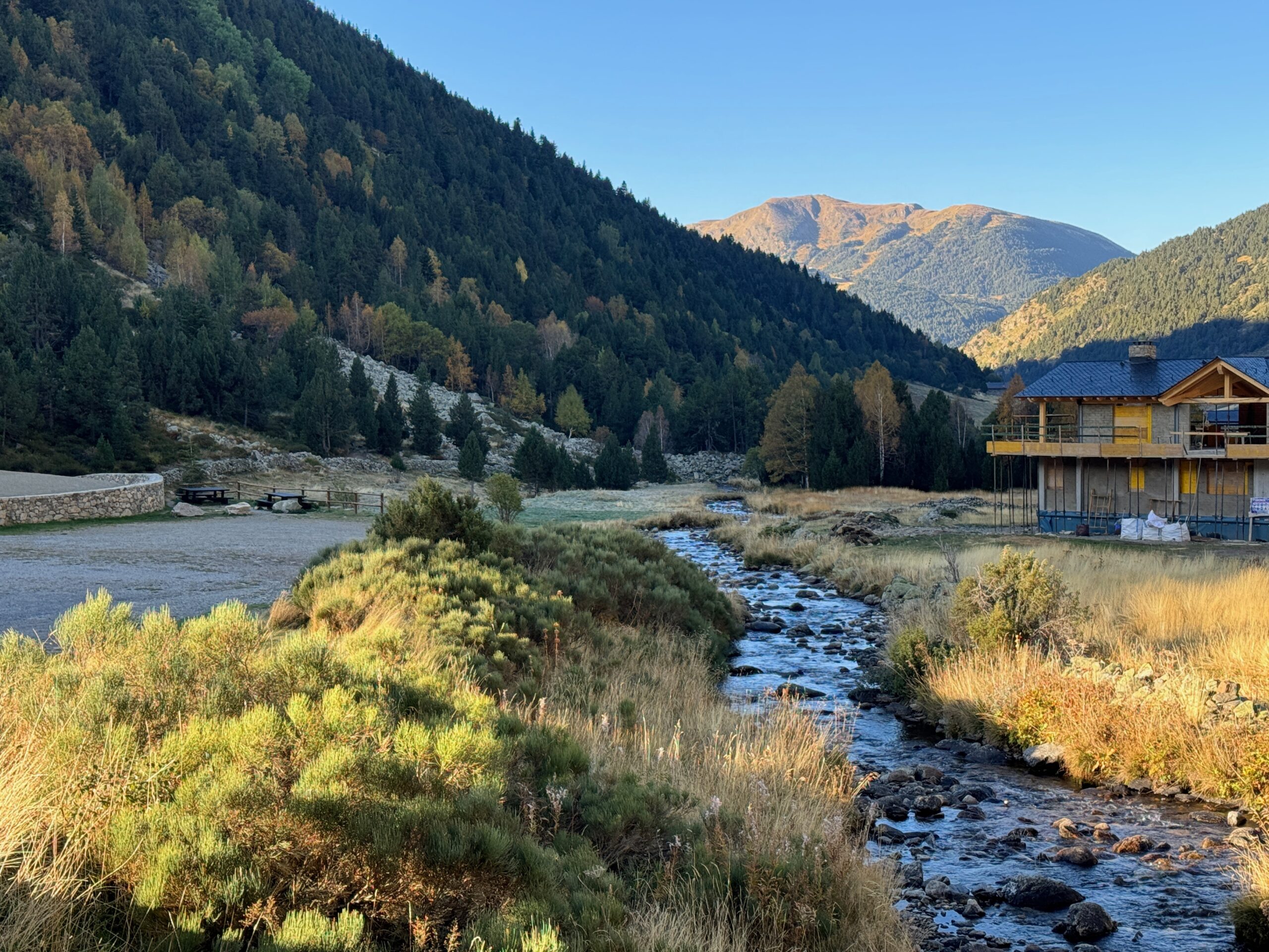
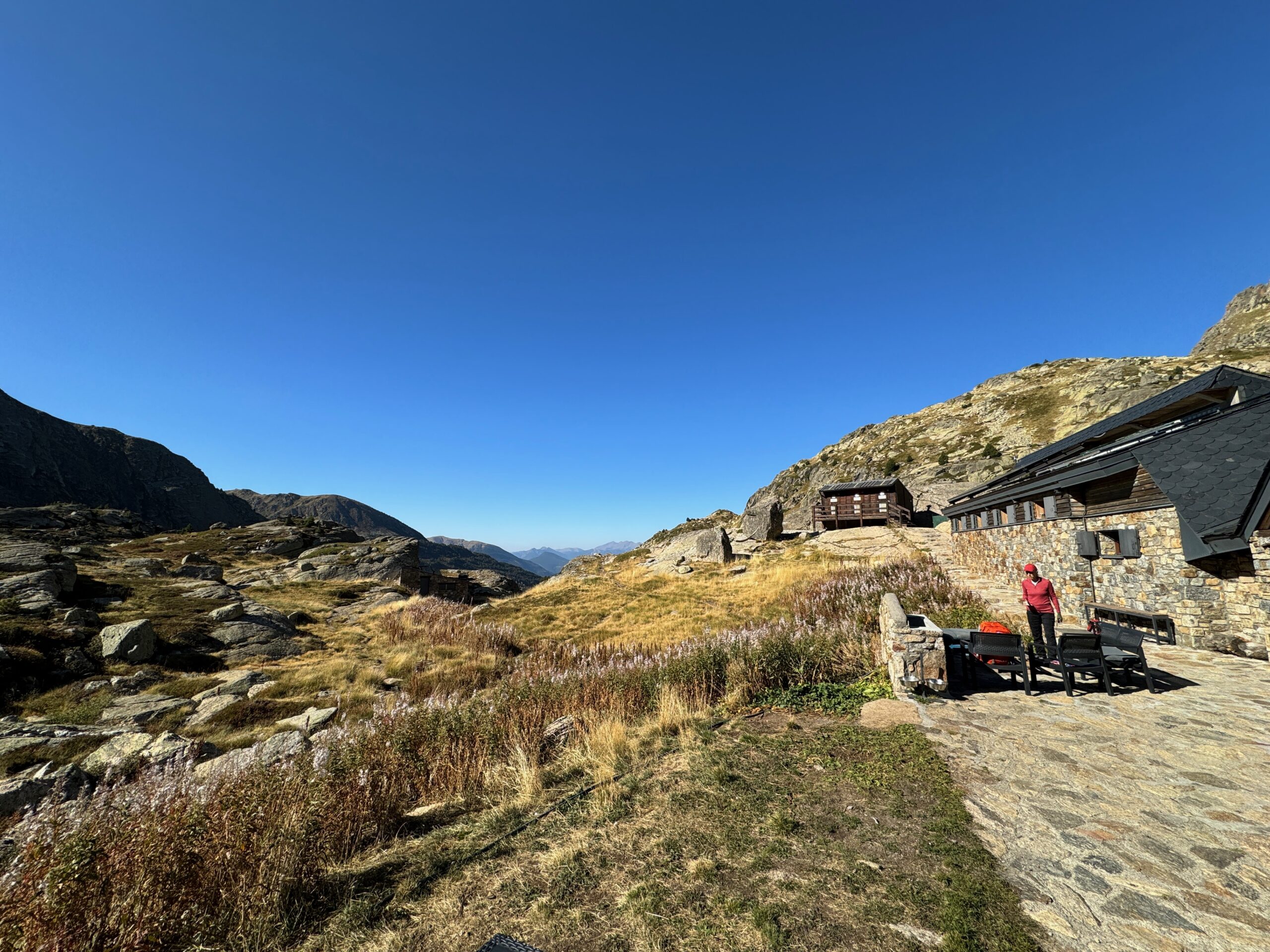
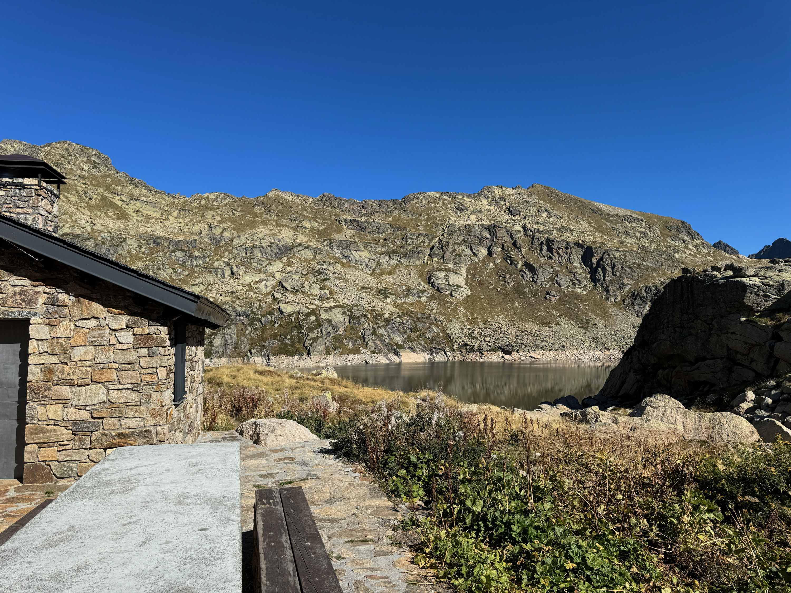
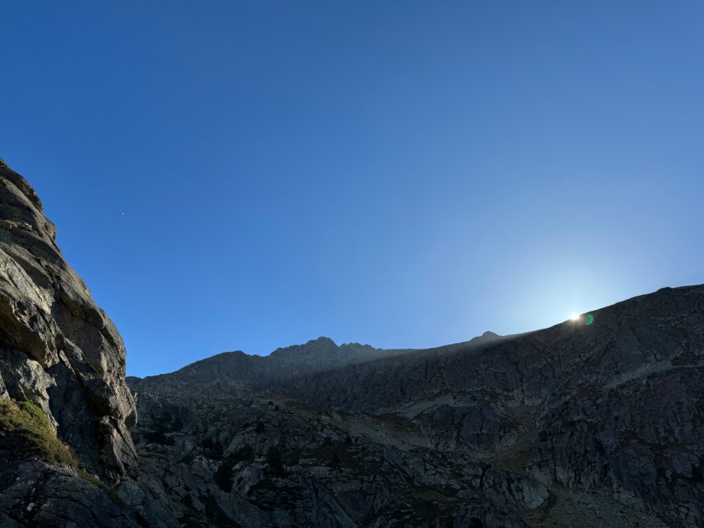
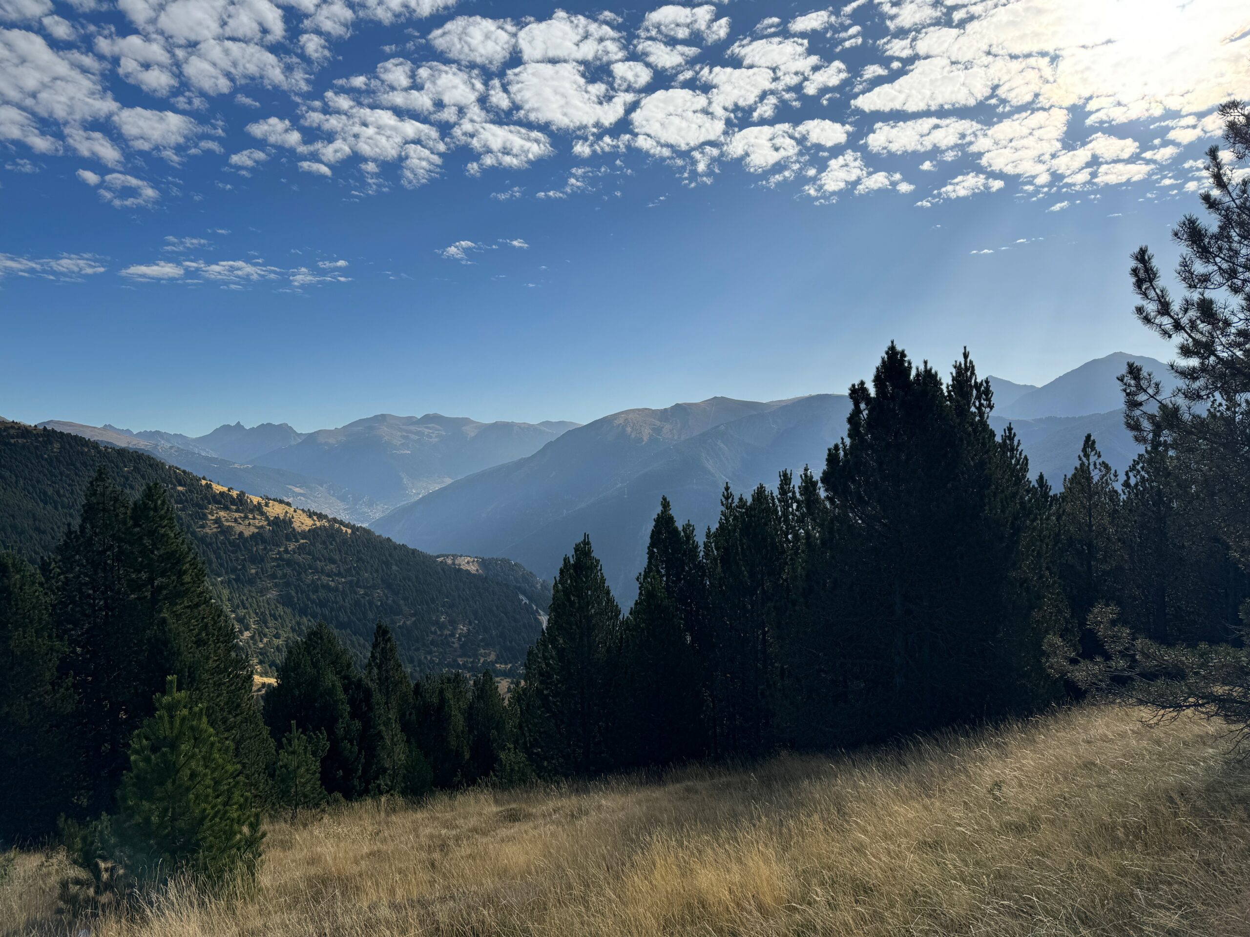
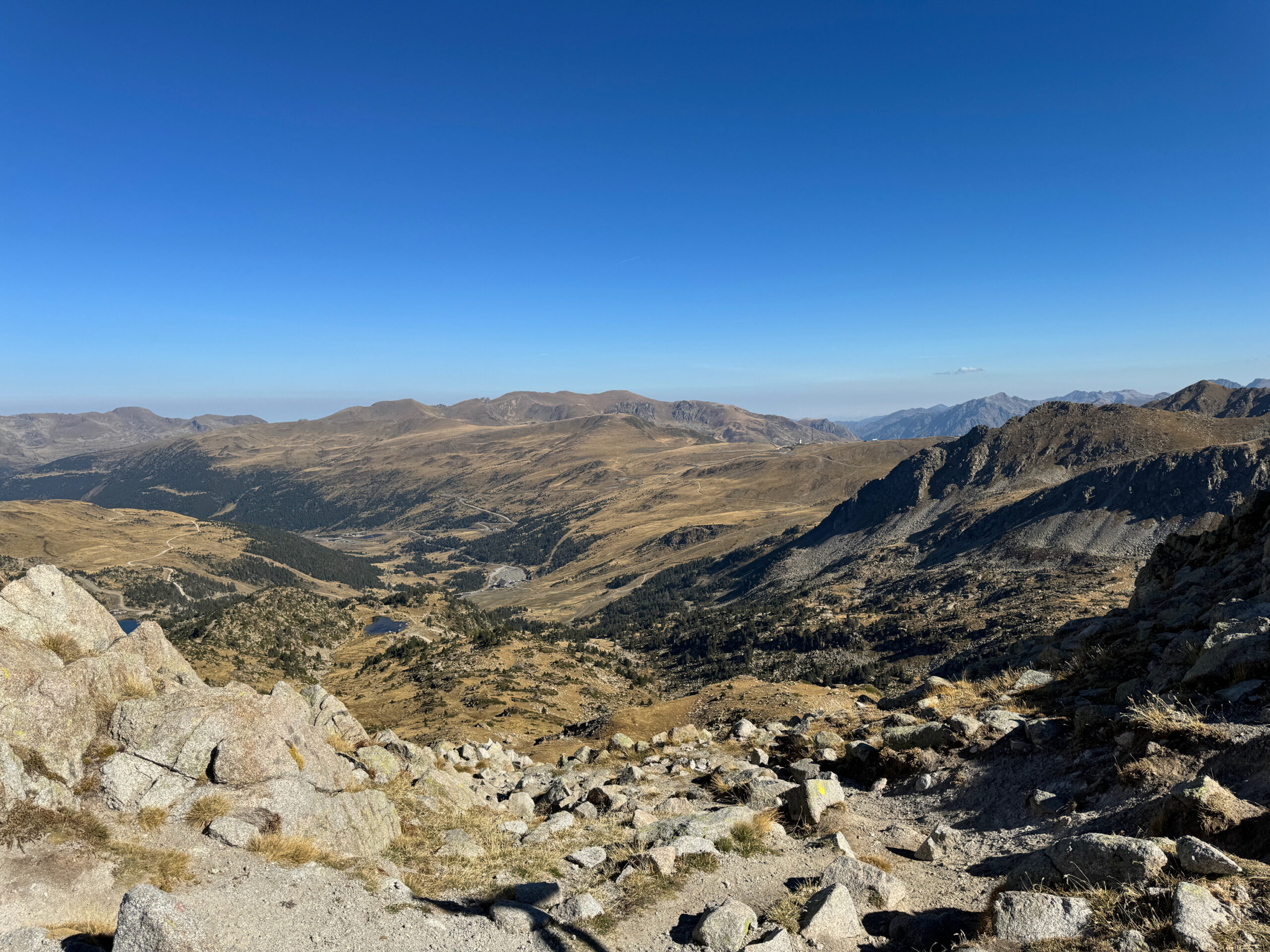
Andorra – Estany de Juclar
Comments:
Explore other posts from this trip:
Barcelona
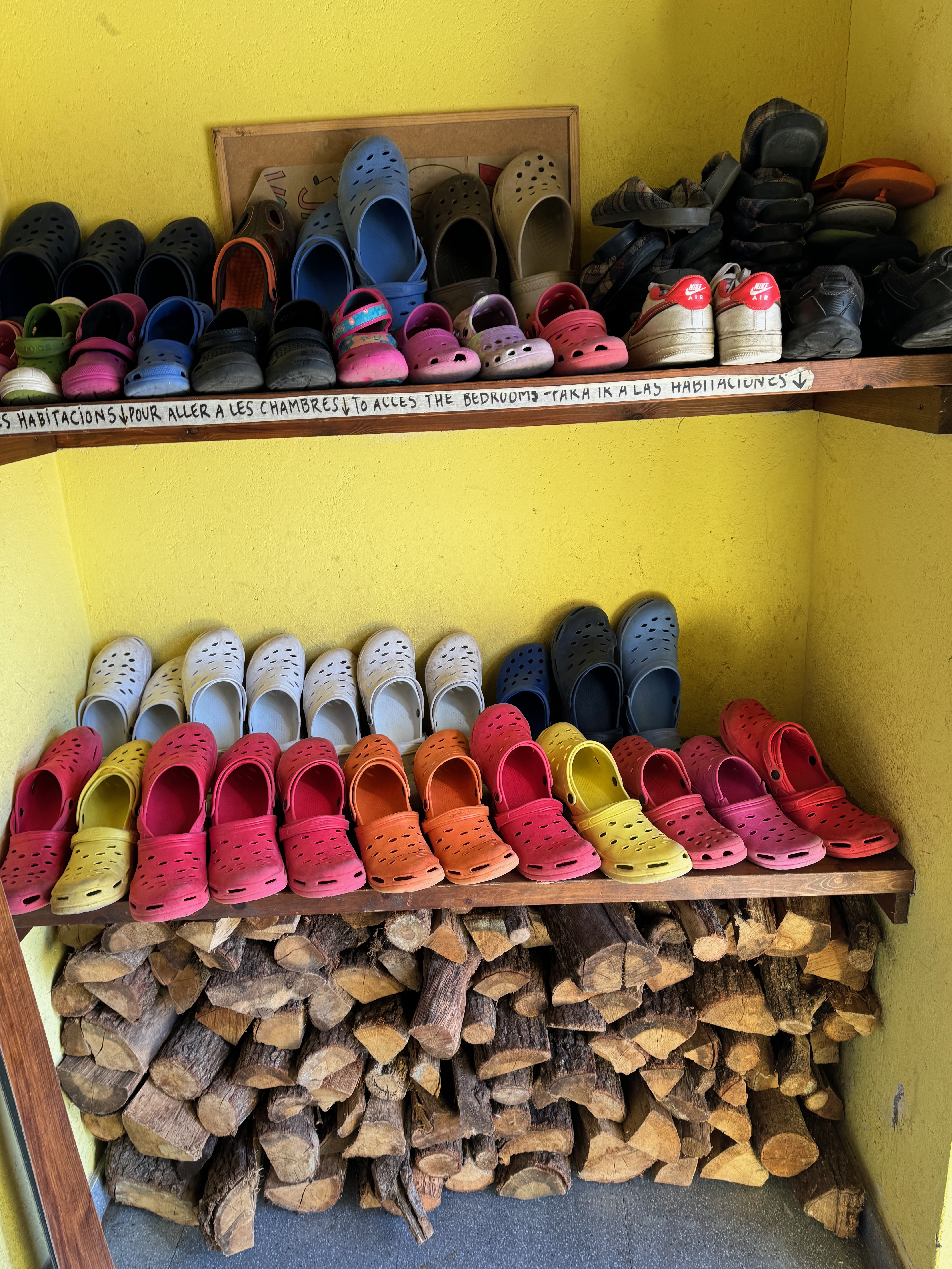
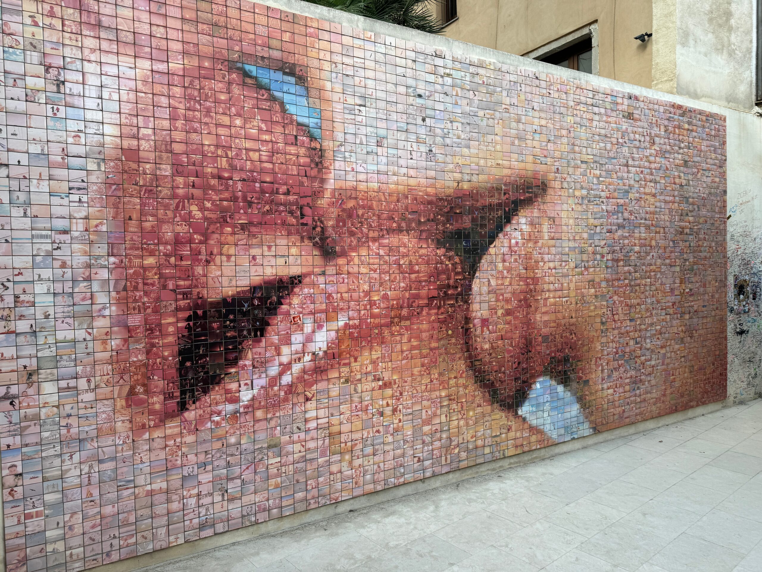
Our plan had been to meet up in Barcelona – Jeanne returning there from her Yoga retreat in Costa Brava, and myself arriving from the states. We settled on a nice AirBnB just on the outskirts of the pedestrian zone – enabling us to walk to many of the attractions and explore the older parts of the city, planning on three full days in the city. Of course, we wanted to see some of the main attractions – the Sagrada
Visiting Spain & Andorra
We’d never been to Spain, at least to spend any real time in country – only passing through Madrid on some flight to somewhere. In her on-going Yoga practice, Jeanne’s favorite instructor was hosting a Yoga retreat in Costa Brava – a few hours north of Barcelona on Spain’s Mediterranean coast. Of course, that gave us the opportunity to explore an area which we hadn’t visited before. The basic plan was simple, Jeanne attends the yoga retreat, then Peter joins
2 Comments