While we continue to read books about thru-hiking the Appalachian Trail (AT) and we casually talk about doing this behemoth of long-distance hiking, truth is, when you begin to peel that back a bit, it’s a daunting endeavor, not the least of which is finding 5 months or so to walk the 2,100+ miles that are between Georgia and Maine.
But thanks to that fat, jolly red guy who pays us an annual visit, we received a book that outlined section hiking the AT in New Hampshire and Vermont. Tackling the trail a section at a time seems a more manageable way to experience the AT without all the negative side effects (like leaving jobs, sleeping in the wilderness, etc!). So, naturally, we had to take the book out for a spin.
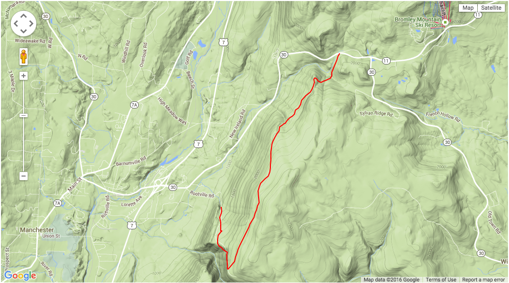
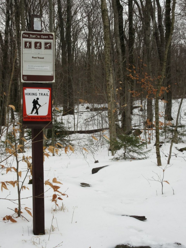
Unlike last winter, there’d been little snow in the north, so for our annual end-of-year trip to the Colonial House in VT, we we decided to leave our skis/boards at home. But we did bring the AT book, our hiking poles, and our snowshoes, and after a bit of research, we settled on a 5 mile section between Manchester and near the Bromley Ski Resort.
The weather leading up to New Year’s Eve had been pretty miserable for any outdoor activity – cold, though not cold enough to snow, and a persistent, misty rain. New Year’s Eve day improved a bit, so while the clouds remained, the mist was gone, leaving us with just a seasonably cold, winter day. With two cars, we were able to spot one car at a parking area off Rt. 11, a few miles west of Bromley Ski Resort, where the AT crossed the roadway, and head toward Rootville Rd, just east of Manchester, where we parked at its end/junction with a mountain/fire road that intersected the AT, 5 miles south of the Rt.11 intersection.
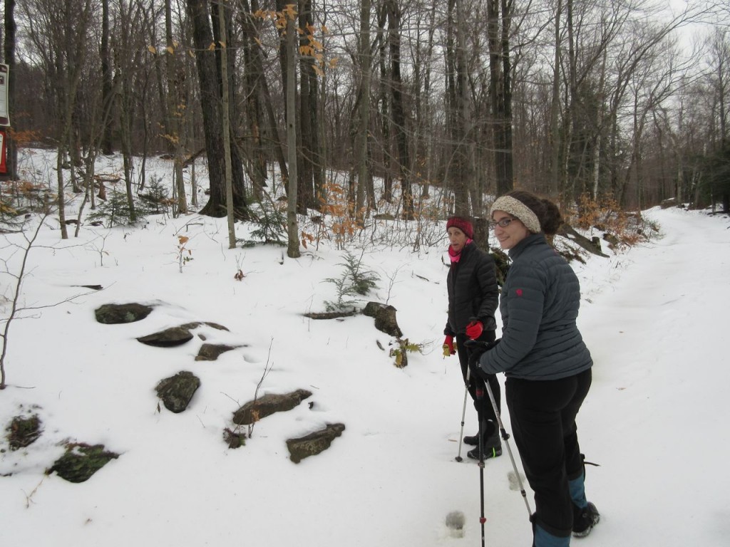
Final hats, gloves, and gators on, Jeanne, Kara, and I set off shortly before noon on the fire road toward the AT. While the AT section appeared to be run parallel on the western slope of a ridge, the mountain road climbed steadily from the car, for the nearly 2 miles to get to the AT. Persistent, and relatively steep, it was good to be outdoors and moving, since it quickly brought warmth. With only about 4 inches of snow cover, footing was good, without the need for snowshoes. Plus, there were frequent reveals to bare ground, with rocks and leaves to provide more solid footing.
We took a sharp left at the junction with the AT, heading nearly due north to follow the ridge slope. Fortunately, someone had gone before us, probably 2 or 3 days prior, leaving their foot tracks on the trail. And at least for this section, the path was well marked, with white blazes on the trees – next almost always visible from the last. There was only one time where the way wasn’t clear, but a few minutes of searching revealed the way ahead.
Wind flowing off flatter land accelerates as it bumps up against mountain ridges, with no where to go but up slope and over the ridge. While refreshing in the summer, on this day, the wind – flowing at maybe 5-8 mph, was out of the northwest (arctic!) and was bumping into the ridge we were following, so we had were periods where we had a pretty strong breeze, maybe 20 mph and some strong wind chill effects as we followed the trail. We kept moving, and that kept us warm, and also brought us to other parts which were sheltered from the wind.
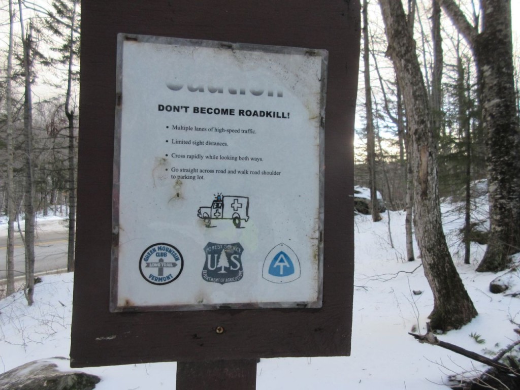
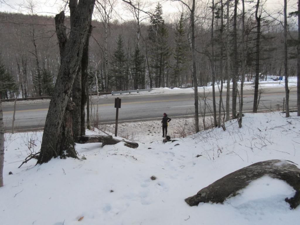
The day had continued to brighten, with a few patches of blue sky peeking through the clouds. But as always seems to happen in the mountains in the winter, the mountain ridges cast shadows creating a false sense of dusk. Even by 3pm, the light already seemed to be fading, but we also started to hear cars on Rt.11 – we knew we were close to done. Traversing the slope, and continuing to gradually drop elevation, we soon came to the exit onto the roadway, though were reminded by a sign to use caution when crossing.
5 miles down, only about 2,160 to go!
