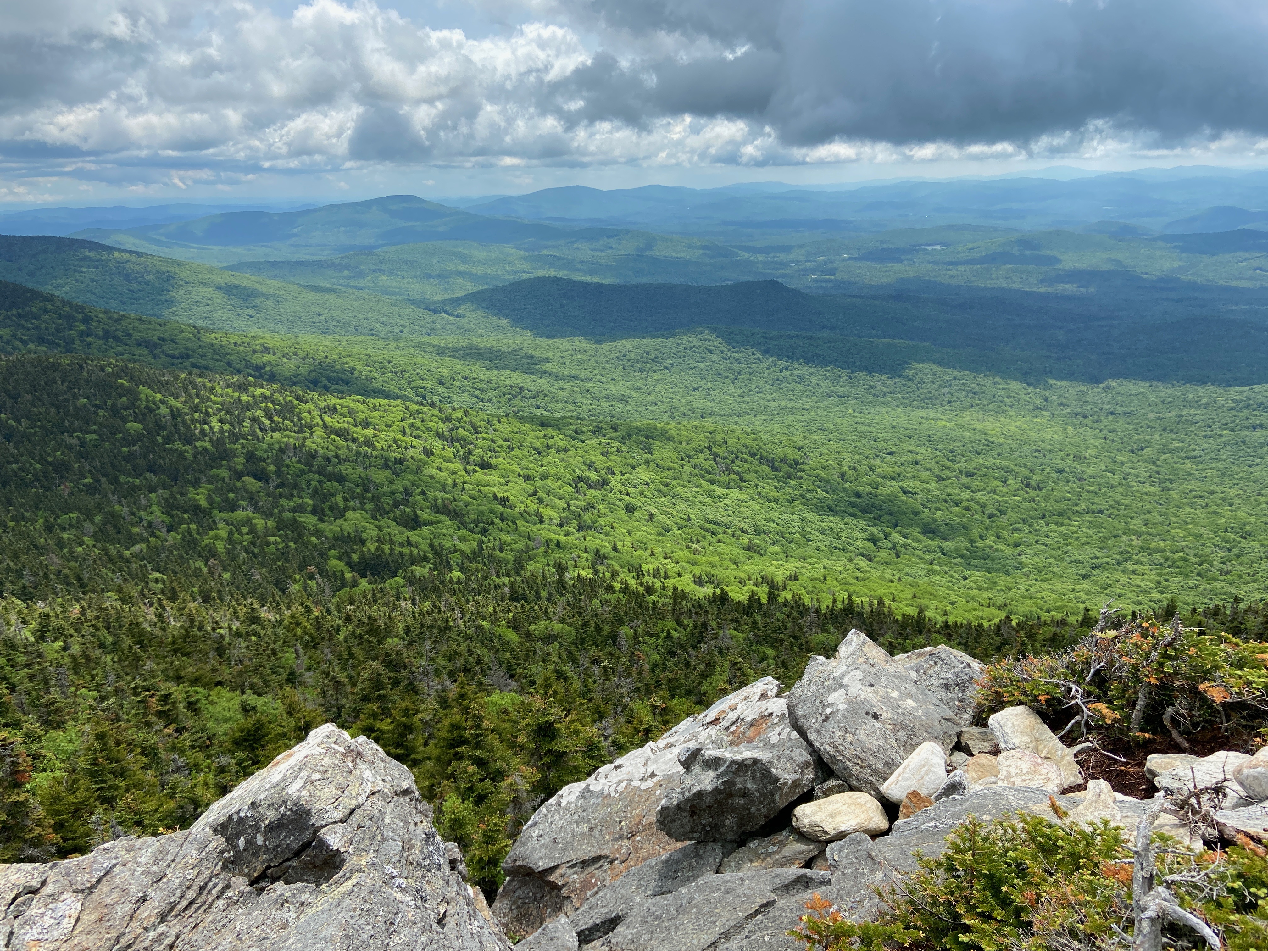
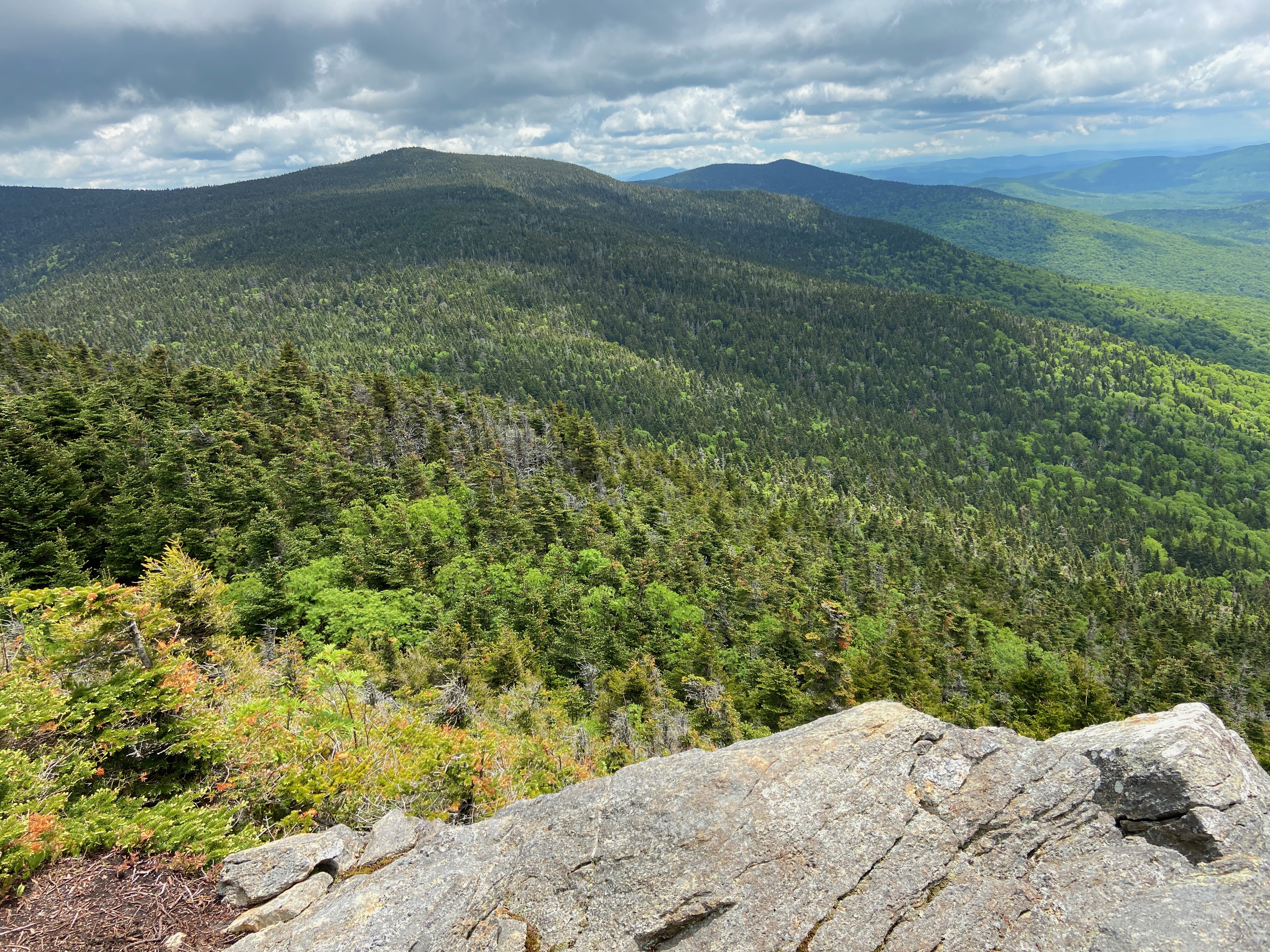
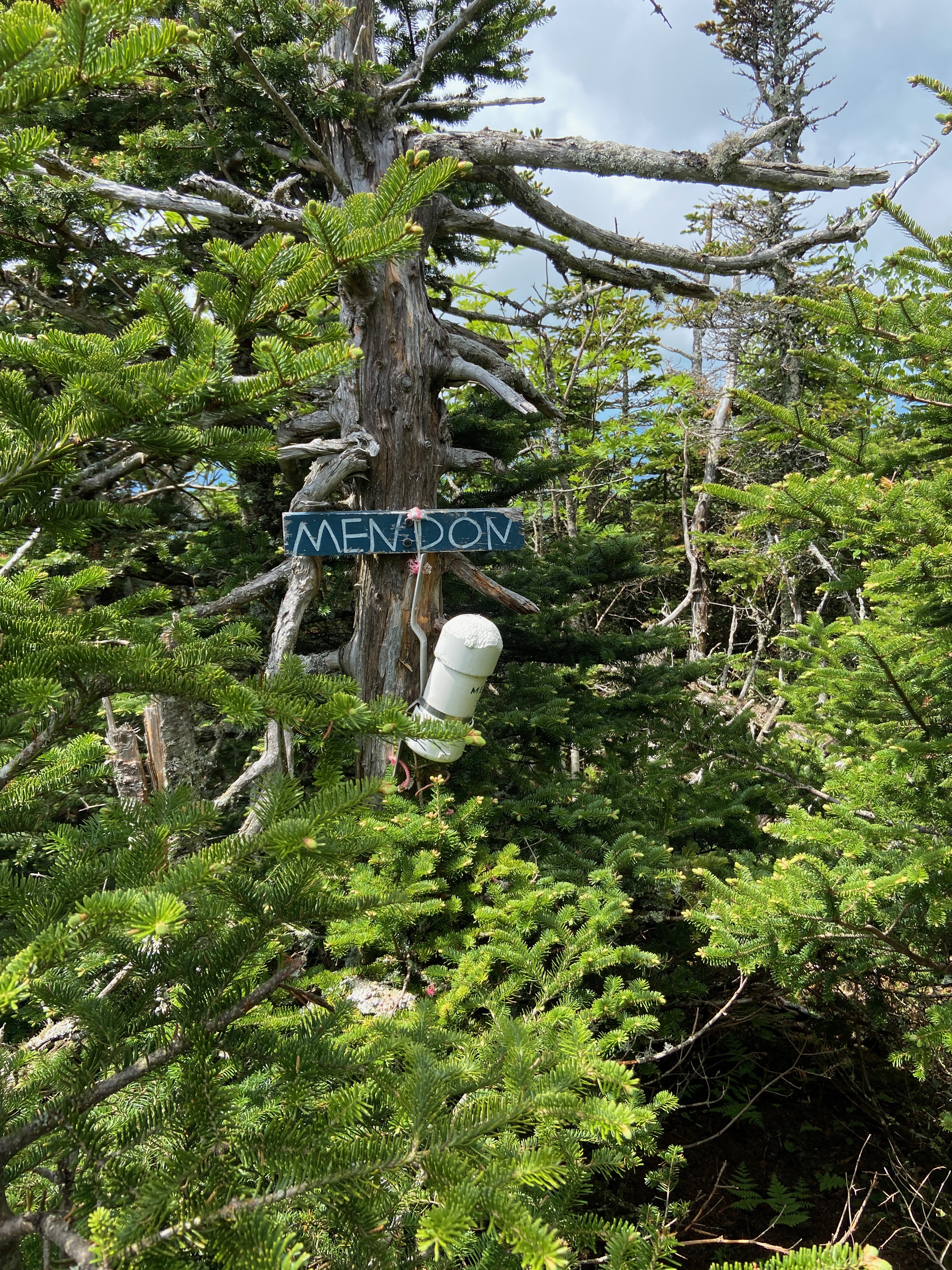
Pico and Mendon
This was one of those hiking adventures where, had we known we would explore alternate peakbagger lists, we might have done these peaks all on the same trip – but then, that’s part of the fun of having peakbagger lists – we get to revisit areas around New England!
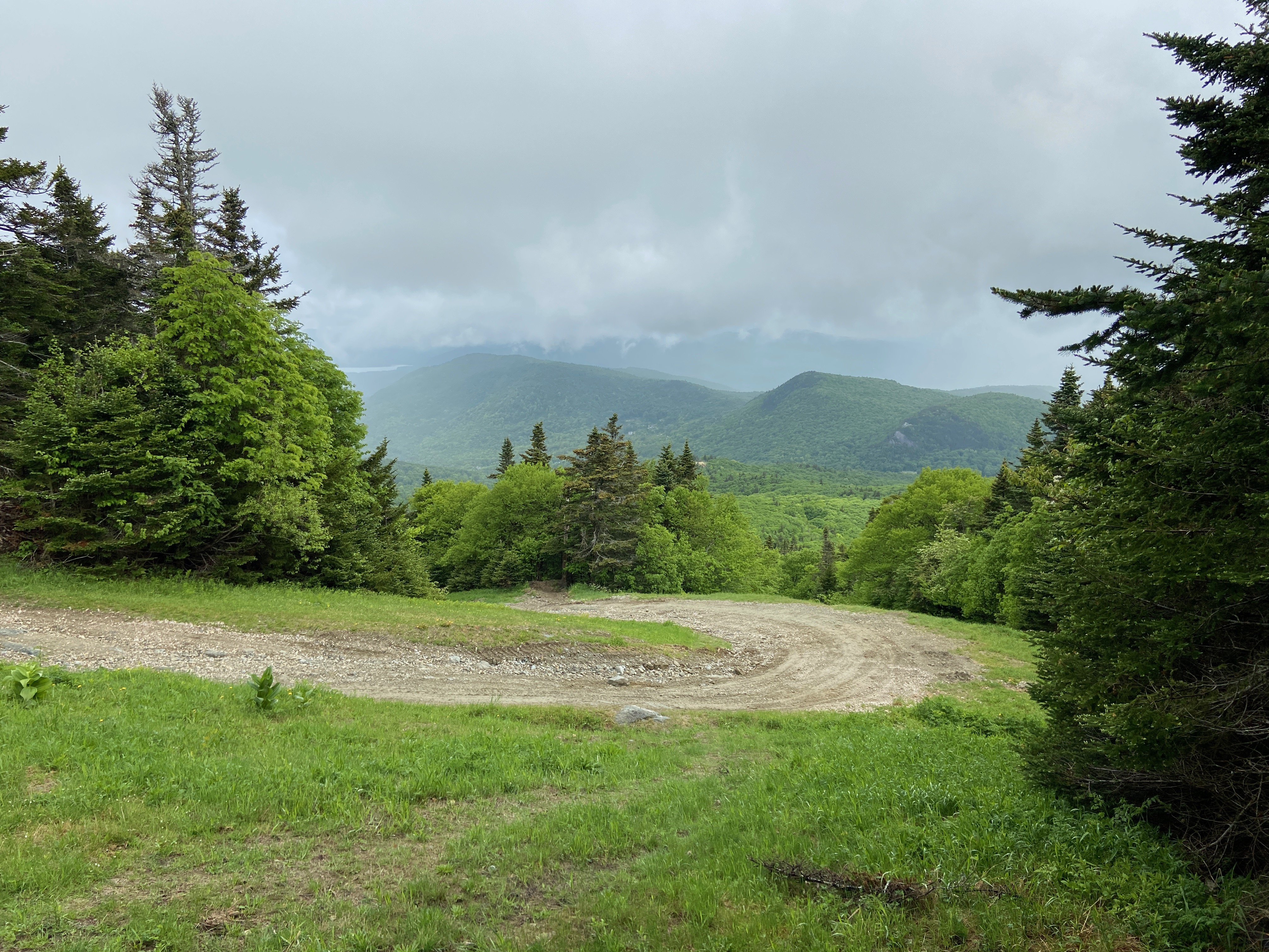
Pico and Mendon lie close to the more familiar Killington summit – in fact our hike to Mendon summit started at the same trailhead as when we hiked Killington a few years earlier.

Comments: